World Map 2025
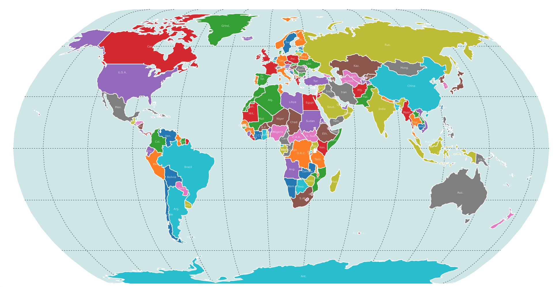
This map shows the political map of the world. It displays countries in different colors, locations, and names. For population, GDP, and more, hover over the map. To rotate it click on it. To take a closer look, zoom in. For more information, scroll down.
World Map 2025 with Countries
This 2025 world map is a political representation of the boundaries and divisions of countries, territories, and other geopolitical entities across the globe.
It provides a visual representation of the world's political structure by displaying national borders, and sometimes other administrative divisions such as autonomous territories.
This map only displays national borders. Other political maps may represent states and provinces.
The primary purpose of a political map is to depict the political boundaries and organization of different countries and regions, making it helpful in understanding the distribution of power and jurisdiction across the world.
It allows users to identify and locate specific countries or regions. It provides a broad overview of the global political landscape.
Political maps often use colors or symbols to differentiate between countries or political entities.
Political maps are widely used in education, research, international relations, and general knowledge to study and analyze the political relationships and geographical layouts of the world.
Map of Exclusive Economic Zones Worldwide
Characteristics of this Political Map
This map uses an Orthographic Projection. This projection does not distort land shapes and areas represented on the map.
Most common maps use Mercator projection. Mercator projection does not accurately reflect the true size of countries, making those closer to the poles look bigger.
This is also an interactive map. As you hover over the countries, they show interesting data about each country.
The data is from NaturalEarthdata.com
For a beautiful political map to hang in your office, business or home, Amazon has the Swiftmaps 24x36 World Classic Premier Wall Map Poster. This is a laminated, UV coating dry-erase poster. It also has a shaded relief of land and oceans for you to admire.
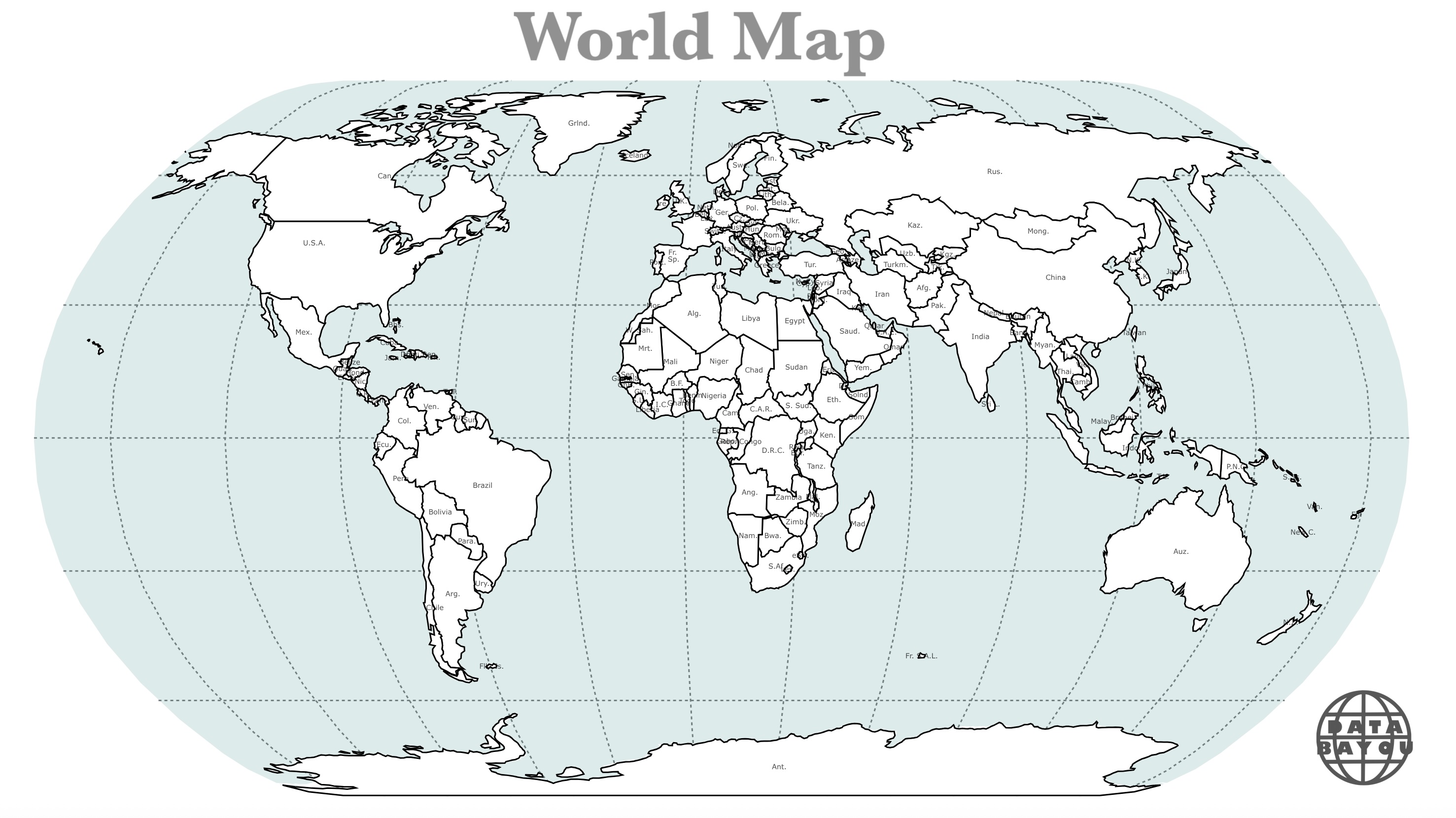
2025 World Map Print
Download this pdf if you want to print a map of the world with countries.
 |
Population
It displays the country's population.
GDP
Gross Domestic Product (GDP) is a commonly used measure of the economic activity and productivity of a country or region.
It represents the total value of all goods and services produced within a specific geographic area over a specified period, typically a year.
GDP is used to gauge the size and growth of economies and is often used as an indicator of a country's standard of living and economic health.
It takes into account both the public and private sectors, including consumption, investment, government spending, and net exports (exports minus imports).
Economy
The map's economy shows each country's development level from 1 to 7. 1 being the highest level of development and 7 being the lowest level.
The economy denotes wealth and the quality of life of people living in that country.
The economy may also include ways to group developed and developing countries.
For example, G7 is an intergovernmental political forum consisting of Canada, France, Germany, Italy, Japan, the United Kingdom, and the United States. The European Union (EU) is a "non-enumerated member."
As of 2020, G7 members are large advanced economies and account for over half of global net wealth.
BRICS, on the other hand, represent emerging economies like Brazil, Russia, India, China, and South Africa. These countries hold large populations and large land areas.
Their GDP is significant, and they are future superpowers.
Continent and Subregion
As you hover over each country, you will also see the continent and subregion where each country is located.
Follow Me
Resources for World Political Map
The shapefiles with the countries of the world were obtained from Natural Earth.
This map will be updated with new data! To receive updates on this and more nature maps, join my email list!!!!!!!
Made by Luz K. Molina with D3.js.