Map of Unemployment Rate by U.S. County
This is an interactive map of Unemployment Rate by U.S. county. White shades represent lower unemployment. Dark red represents higher unemployment. Hover over the map to see the county, state, and unemployment rate. Zoom in for more details. Scroll down for more information.
Unemployment Rate
U.S. Unemployment Rate
"Unemployment rate is the share of the labour force without work. The labour force is the total number of employees, the self-employed, unpaid family workers and the unemployed" OECD.
This rate was obtained from the US Census and includes five years of data up to 2022.
The median unemployment rate was of 4.7 for all counties.
Ziebach South Dakota is the county with the highest unemployment rate of the United States.
Several counties have 0 unemployment. These include Eureka Nevada, McPherson Nebraska, Loup Nebraska, Kiowa Colorado, Donley Texas, Jeff Davis Texas, Terrell Texas, Edwards Texas, Kenedy Texas, Haakon South Dakota, Sully South Dakota, Garfield Montana, Fallon Montana, and Wibaux Montana.
Counties in Alaska and Hawaii that appear to have no unemployment have no data. These are remote counties with large swaths of land and National Forests and low population.
Shannon South Dakota is mainly a Reservation and these data is not recorded.
Highest Unemployment Rate Counties
Ziebach County South Dakota is one of the poorest counties in the U.S. Most of this county consists of Indian Reservations.
Dewey County South Dakota is in the Cheyenne River Indian Reservation. This county also has a very high unemployment rate.
Sioux County is the only county in North Dakota that is entirely within an Indian reservation. This county also has a very high unemployment rate.
For a deeper look at unemployment, Amazon has The Causes of Structural Unemployment: Four Factors that Keep People from the Jobs they Deserve (Work & Society). This book focuses on the employment futures of advanced industrial countries, providing readers with the sociological imagination to appreciate the bigger picture of where workers fit in the new international division of labor.
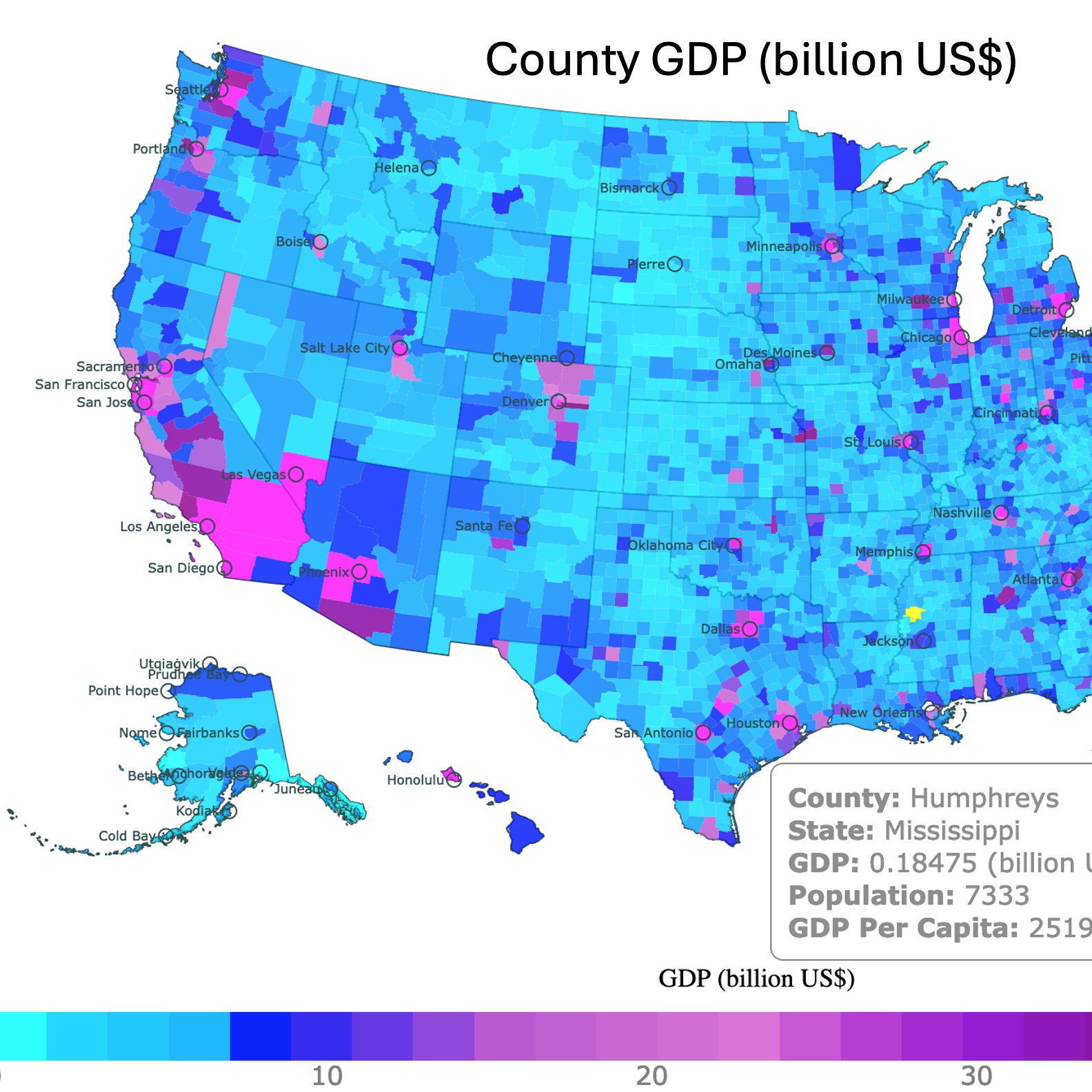
Map of GDP and Per Capita GDP in the United States
Lowest Unemployment Rate Counties
Eureka Nevada has a mining district where silver, gold, lead, and copper have been mined.
Kiowa Colorado is a producer of wheat, sunflower seeds, and sorghum. It is also an oil and gas producer.
Other counties seem to have high oil and gas industries in Texas.
According to the Bank of Kansas low unemployment in Nebraska is related to high educational attainment. Since most of the counties have relatively high educational attainment, unemployment is low.
Follow Me
Resources for United States Map
The Shapefiles for the states were downloaded from Natural Earth.
The county shapefiles and the U.S. unemployment data was obtained from were downloaded from the US Census Bureau.
Made by Luz K. Molina with D3.js.
This map will be updated with improved and recent information! To receive updates on this and more nature maps, join my email list!!!!!!!
