Map of Europe
This is an interactive political map of Europe. It displays countries, locations, rivers, cities, and names. Blue borders indicate EU members. Yellow Borders are EFTA members. For population, GDP, and more, hover over the map. To take a closer look, zoom in. For more information, scroll down.
| Key | ||||
|---|---|---|---|---|
| ⬤ | Country Capital | ◯ | City | |
| Lake or River | Ocean | |||
| European Union Member States | EFTA Member States | |||
Europe
Europe is the continent on the westernmost peninsulas of Eurasia.
Europe is located entirely in the Northern Hemisphere and mostly in the Eastern Hemisphere.
It is bordered by the Arctic Ocean to the north, the Atlantic Ocean to the west, and the Mediterranean Sea to the south.
Europe is divided from Asia by the Ural Mountains in Russia and the Caspian Sea. Because political borders are not the same as geographical borders, various countries have territories inside and outside of Europe.
Greenland is not part of Europe, but it is a Danish Territory. Turkey is an Asian country, but it has a small area that belongs to Europe.
French Guiana is a French territory in South America, also not part of Europe.
The continent has a diverse range of cultures, languages, and histories, and it is known for its rich heritage, landmarks, and contributions to art, science, and philosophy.
Not sure where to start exploring Europe? Just type the destination and dates. Expedia will find a flight for you!
Europe in Numbers
The total land area of Europe is approximately 10,180,000 square kilometers (3,930,000 square miles).
Europe is the second-smallest continent after Australia (Oceania). However, Europe has a relatively high population density and is densely populated in many regions.
There are 741 million people living in Europe. Most of them are located in Russia. The second most populous country is Germany, followed by France. For more population data, hover over the map.
Europe has some of the wealthiest countries in the world. Not just that, but also some of the highest incomes per capita. Germany has the highest GDP, followed by the UK and France. For exact numbers, hover over the map.
The following table lists the countries in Europe and their capitals.
If you want to own a large map of Europe, Amazon has the National Geographic Europe Map". This quality print map won't easily crease or tear in shipping or with use. Perfect for your office or home.
Map of Exclusive Economic Zones Worldwide
| Country | Capital | Country | Capital |
|---|---|---|---|
| Albania | Tirana | Luxembourg | Luxembourg |
| Andorra | Andorra la Vella | Malta | Valletta |
| Austria | Vienna | Moldova | Chisinau |
| Belarus | Minsk | Monaco | Monaco |
| Belgium | Brussels | Montenegro | Podgorica |
| Bosnia and Herzegovina | Sarajevo | Netherlands | Amsterdam/ Haag |
| Bulgaria | Sofia | North Macedonia | Skopje |
| Croatia | Zagreb | Norway | Oslo |
| Czechia | Prague | Poland | Warsaw |
| Denmark | Copenhagen | Portugal | Lisbon |
| Estonia | Tallinn | Romania | Bucharest |
| Finland | Helsinki | Russia | Moscow |
| France | Paris | San Marino | San Marino |
| Germany | Berlin | Serbia | Belgrade |
| Greece | Athens | Slovakia | Bratislava |
| Hungary | Budapest | Slovenia | Ljubljana |
| Iceland | Reykjavik | Spain | Madrid |
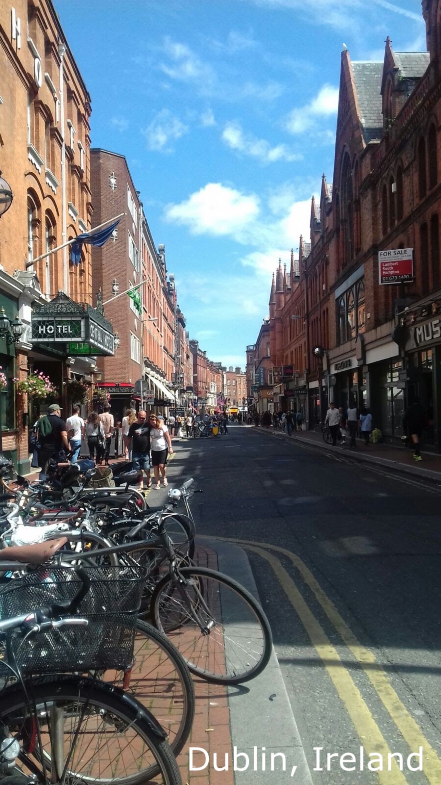
| Ireland | Dublin | Sweden | Stockholm |
| Italy | Rome | Switzerland | Bern |
| Latvia | Riga | Ukraine | Kiev |
| Liechtenstein | Vaduz | United Kingdom | London |
| Lithuania | Vilnius | ||
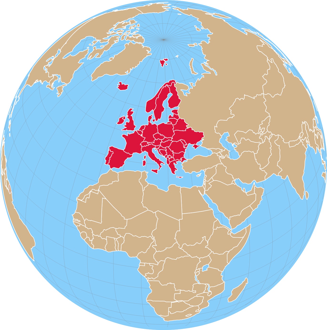
European Union (EU)
The European Union (EU) was created with the aim of fostering peace, stability, and economic cooperation among European nations.
The roots of the EU can be traced back to the aftermath of World War II, which left Europe devastated and divided.
European leaders sought to prevent future conflicts and promote prosperity through closer integration and cooperation.
It sought economic integration, political cooperation, strength, shared values, and standards.
EU countries share rules, regulations, and a common currency called the Euro.
The EU member countries are Austria, Belgium, Bulgaria, Croatia, Republic of Cyprus, Czech Republic, Denmark, Estonia, Finland, France, Germany, Greece, Hungary, Ireland, Italy, Latvia, Lithuania, Luxembourg, Malta, Netherlands, Poland, Portugal, Romania, Slovakia, Slovenia, Spain, and Sweden.
The United Kingdom was also an EU member until January 31, 2020, when it officially left the EU following the Brexit referendum.
The EFTA Member countries are Iceland, Liechtenstein, Norway, and Switzerland.
The EFTA Member countries are not part of EU Cutsoms Unions; they negotiate trade deals separately to the EU.
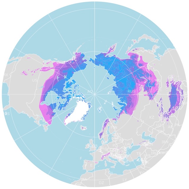
Map of Arctic Permafrost
Facts About Europe
- The Population Density of Europe is 188 people per square kilometer.
- The highest elevation in Europe is Mount Elbrus in Russia at 18,510 feet (5,642 m)
- The largest Urban Area is Moscow, in Russia.
- The largest watershed is the Volga River.
- Europe has the world's smallest country, the Vatican City.
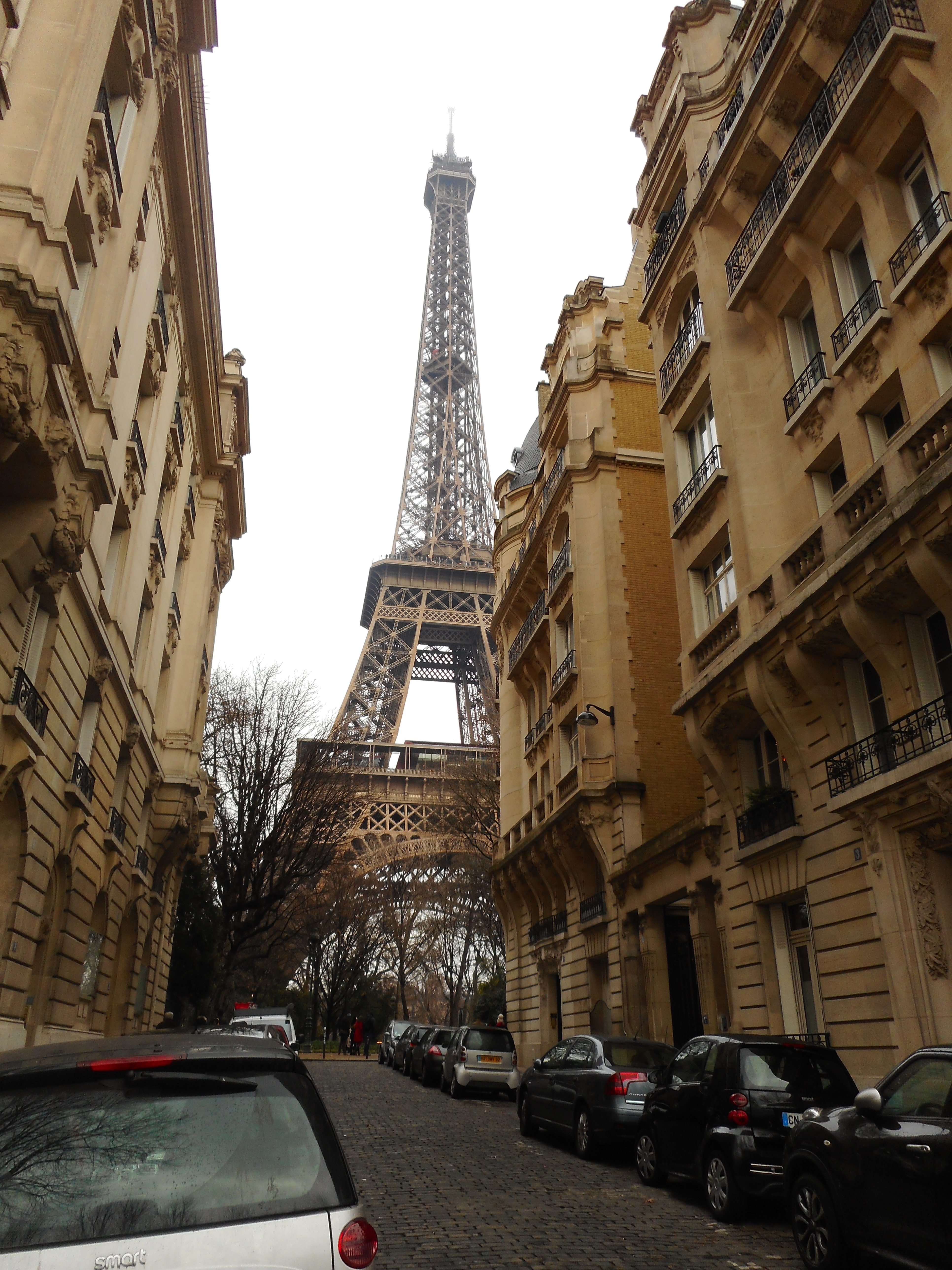
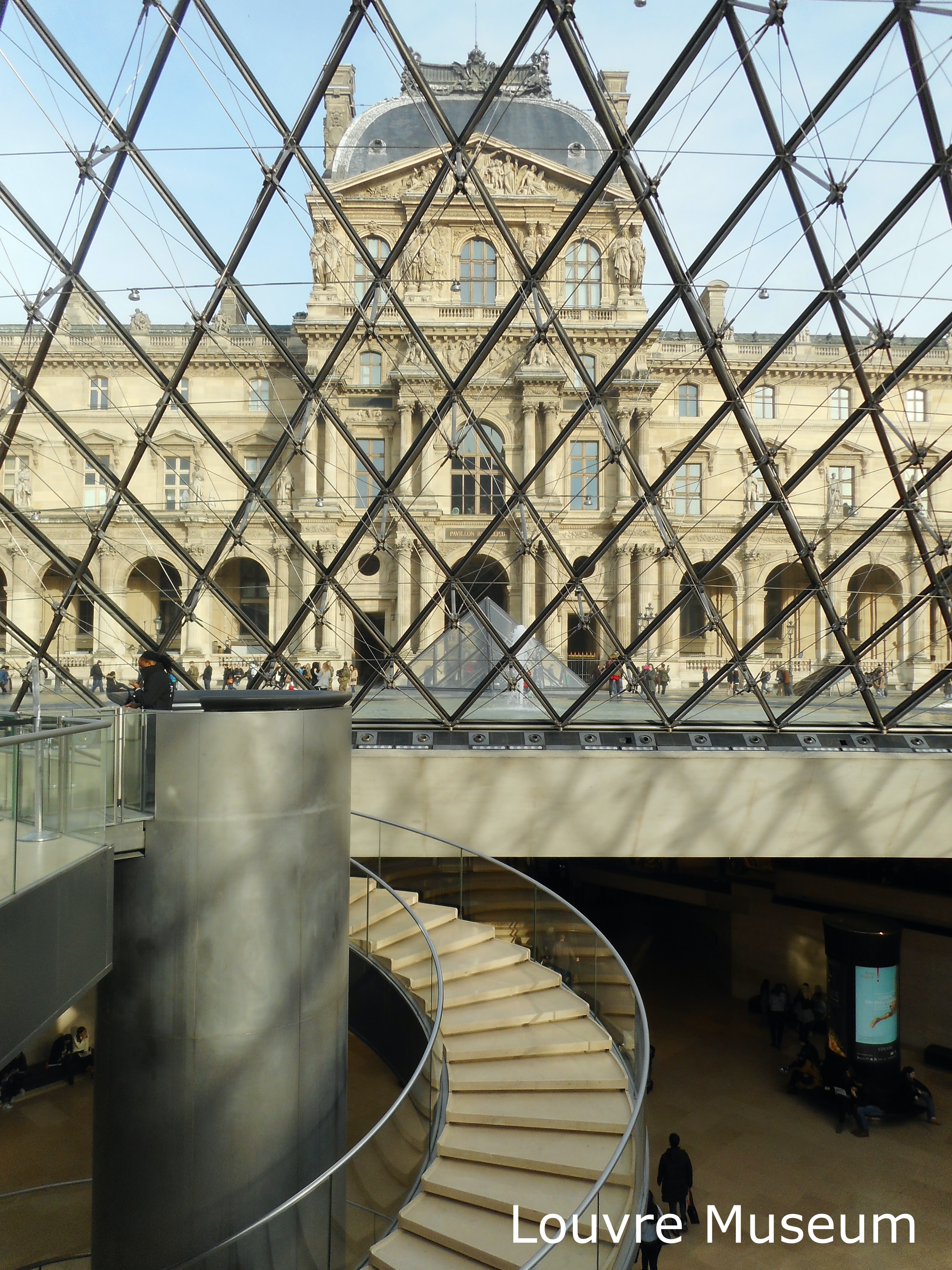
- The most visited attraction in Europe is The Louvre Museum. This is also the largest Museum in the world.
- France is the most visited country in Europe.
- St. Peter's Basilica is the world's largest church.
- The most castles in Europe are in the Czech Republic.
- There are over 200 languages spoken in Europe.
- The name Europe originated in ancient Greece
- There are more UNESCO heritage sites in Europe than any other continent.
- The world's second most active volcano is in Sicily, Italy.
- Montenegro is Europe's newest country. It was formed in 2006. Source: Euro Backpacker.
Follow Me
Resources for Europe Map
The shapefiles with the countries of the world were obtained from Natural Earth.
This map will be updated with new data! To receive updates on this and more maps, join my email list!!!!!!!
Made by Luz K. Molina with D3.js.
