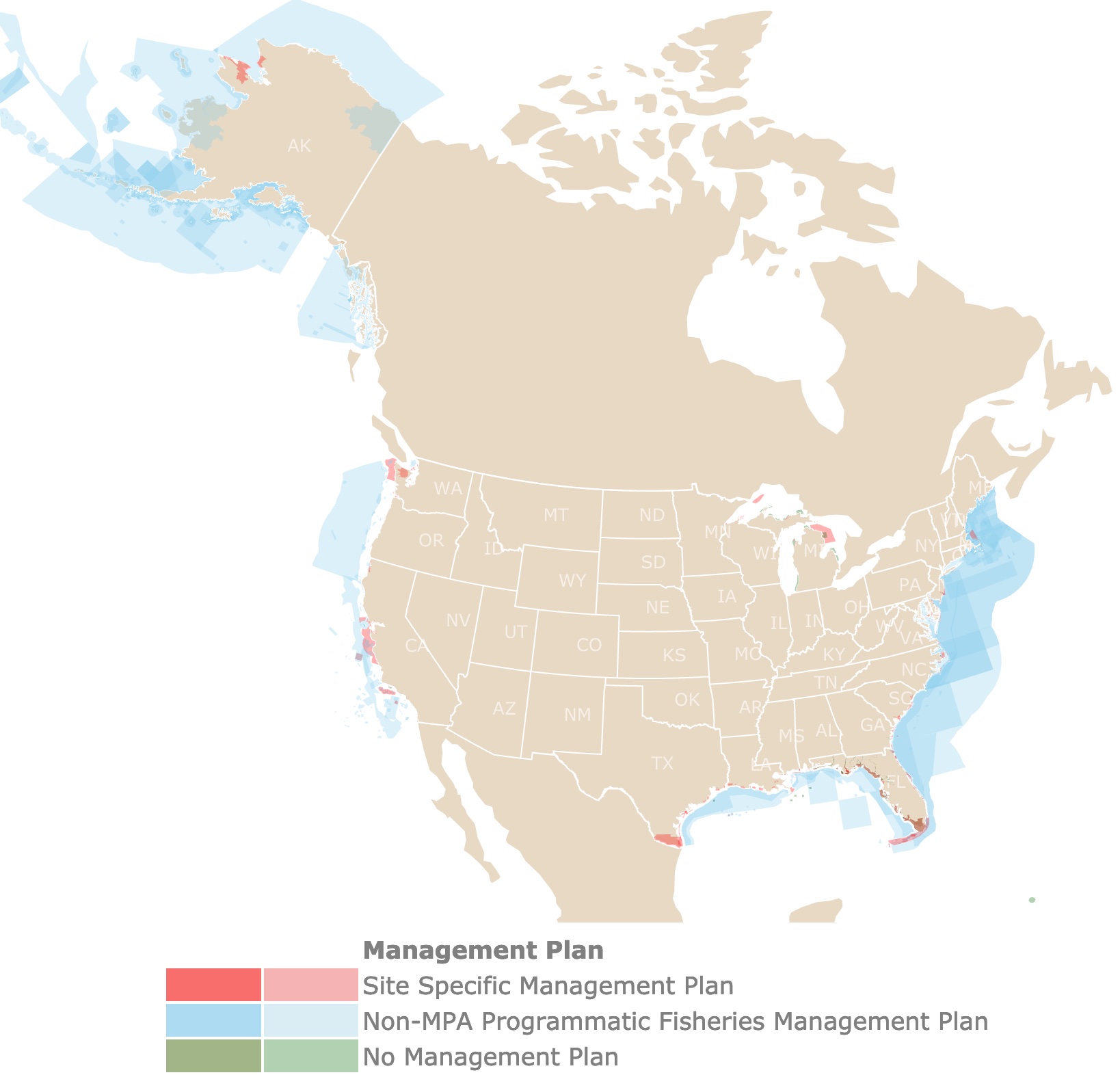
U.S. Marine Protected Areas Map
This interactive map shows the Locations, Names, Area, and Designations of Marine Protected Areas (MPAs) of the United States. Each polygon represents a unit. Blue represents the former designations of MPAs. Red represents the current designation for MPAs. For more detail zoom in. For more information hover over the map, or scroll down.
| Management Plan | ||
|---|---|---|
| Site Specific Management Plan | ||
| Non-MPA Programmatic Fisheries Management Plan | ||
| No Management Plan |
Marine Protected Areas of the U.S.
The Marine Protected Areas of the USA were defined as “any area of the marine environment that has been reserved by federal, state, territorial, tribal, or local laws or regulations to provide lasting protection for part or all of the natural and cultural resources therein.” United States Executive Order 13158 in May 2000. These areas are represented with blue, and green on the map.
These marine protected areas span a range of habitats, including open ocean, coastal areas, intertidal zones, estuaries, and the Great Lakes.
Affiliate Disclosure
Databayou.com is a participant in the Amazon Services LLC Associates Program, an affiliate advertising program designed to provide a means for sites to earn advertising fees by advertising and linking to Amazon.com. Databayou.com also participates in affiliate programs with Clickbank, CJ, and other sites.
A National System of Protected Areas brought together federal, state and territorial Marine Protected Areas (MPAs) managed by different agencies towards a single conservation objective.
The U.S. has more than 1,700 of these designated MPAs. They could be reserves, refuges, preserves, sanctuaries, areas of special biological significance, and other designations that prohibit some form of human activity. About 86% of these are multiple use.
Multiple Use MPAs allow different human activities like fishing and extractive uses.
Around 41% of U.S. waters are in some form of MPA. Most of them are located between Cape Hatteras and Cape Cod. MPA Analysis
If you would like to read more about the long process and creation of a Network of Marine Protected areas in California, I suggest you get this book from Amazon Beyond Polarization: Public Process and the Unlikely Story of California's Marine Protected Areas.
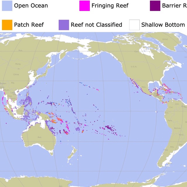
Interested in Sea Life? Check this map of Coral Reefs around the World!
Marine Protected Areas Importance
Well designed and administered MPAs can have positive impacts in the environment. They can promote genetic diversity of marine species. This is accomplished by protecting critical habitats like reefs or estuaries that have year round importance. They can also protect habitats that are critical at specific times of the year.
Studies show that MPAs can benefit sea life by providing a safe haven for species to rebuild and flourish.
Areas facing reduced fishing pressure have healthier communities and are often home to fish that are significantly bigger.
People benefit from the storm protection provided by habitats such as barrier islands, coral reefs, and wetlands.
People gain economically from tourism and fishing.
Besides their natural beauty, MPA are a natural laboratory to study marine environments. They encourage inter-disciplinary studies on ocean science and conservation. Woods Hole Oceanographic Institution.
Interested in Natural Areas? Check this map of National Parks
MPAs by Primary Conservation Focus
Each U.S. Marine Protected Area has at least one primary focus or goal. This focus is used as another way to classify them.
Some are there to support Sustainable Production, others, to Conserve Natural Heritage, and others to preserve Cultural Heritage.
For the focus of each area check the map below. It is also detailed on the interactive map above when you hover over an area.
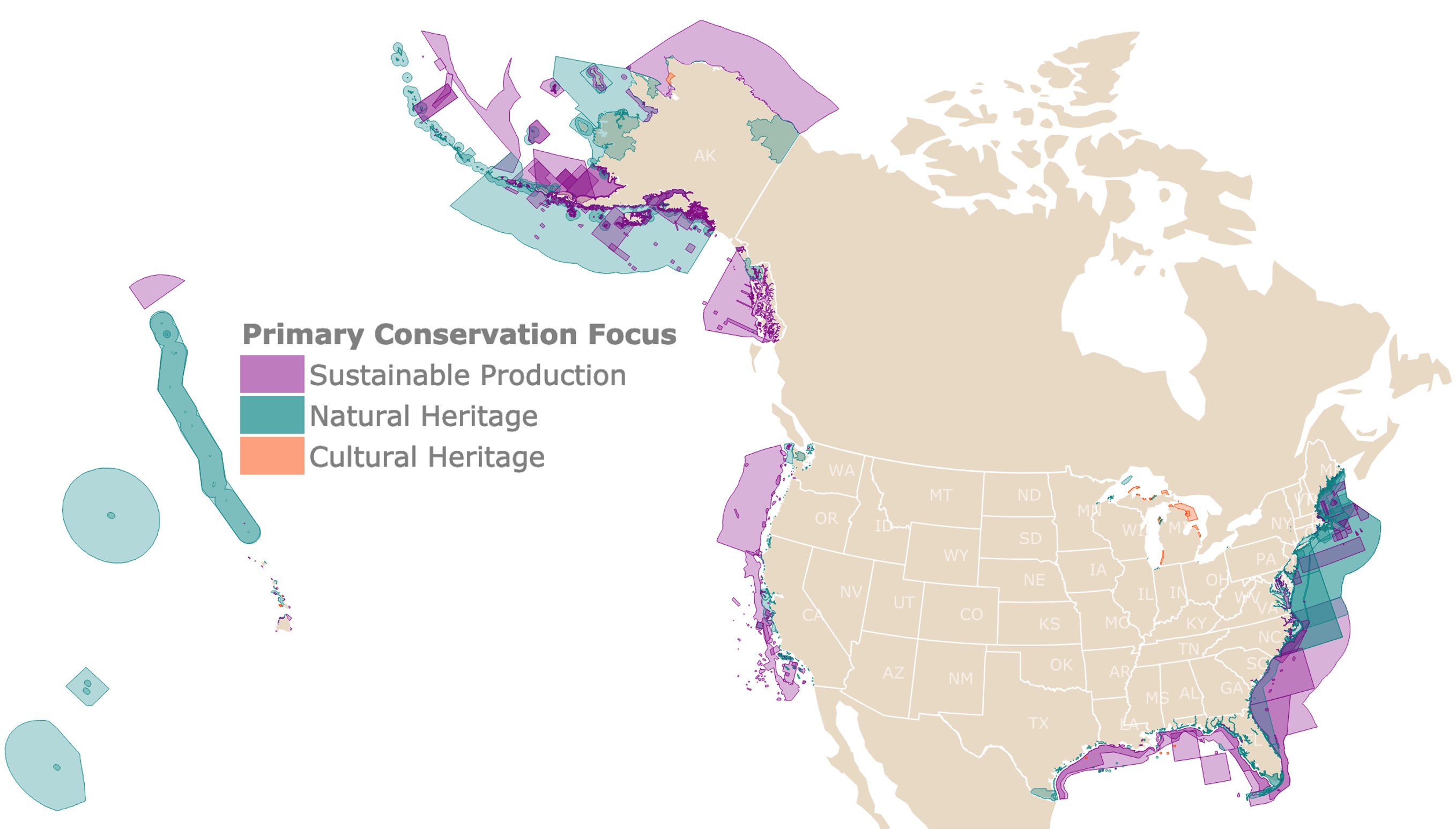
Sustainable Production
Established to support the extraction of renewable living resources like fish, shellfish, plants, birds, or mammals; that live within the MPA.
About 23% of U.S. MPAs are focused in Sustainable Production of Marine Resources.
For more information on sustainable production and accurate numbers of fisheries, I suggest you read this book found on Amazon, Global Atlas of Marine Fisheries: A Critical Appraisal of Catches and Ecosystem Impacts. It has information about countries all over the world.
Natural Heritage
These are established to sustain, restore, conserve, and understand the protected area’s natural populations, biodiversity, communities, habitats, and ecosystems.
Some of these MPAs are very large areas managed by NOAA fisheries to protect whales and other threatened species from fishing.
The area focused in Natural Heritage is 68% of all US MPAs. MPA Facts.
Cultural Heritage
Cultural Heritage zones are established to protect and understand the legacy and intangible attributes of a group or society which is inherited and maintained in the present and bestowed for the benefit of future generations.
The area focused in conserving Cultural Heritage is about 9% of all MPAs. MPA Analysis.
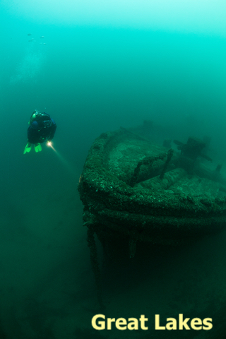
An example of a Cultural Heritage created to protect cultural resources such as shipwrecks and historical artifacts, is located in the Great Lakes. It is called Thunder Bay National Marine Sanctuary, which protects more than 150 shipwrecks.
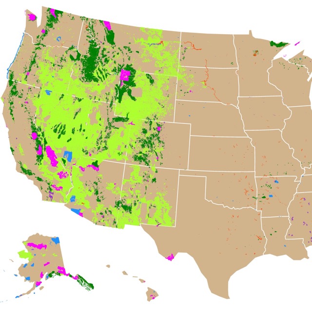
Want a more details about the Forest Service? Check this map.
If you would like to read more about the intricacies, history, structure, and management of U.S. Natural Resources, I suggest you read this book from Amazon, Natural Resource Administration: Wildlife, Fisheries, Forests and Parks.
MPAs Level of Protection
U.S. Marine Protected Areas vary in the level of protection, which are given to the site's natural and cultural resources. These levels are detailed when you hover over the map. The following are the levels of protection:
- Uniform Multiple-Use: These allow a consistent level of protection with activities, and restrictions throughout the site. Extractive uses depend on the natural or cultural resources. These are some of the most common among U.S. MPAs.
- Zoned Multiple-Use: These MPAs allow extractive uses over the site, but marine zoning for specific locations to reduce user conflicts. Common in U.S. waters, including some marine sanctuaries, national parks, national wildlife refuges, and state MPAs.
- Zoned Multiple-Use With No-Take Area(s): These sites have multiple uses and at least one zone where extraction is prohibited. Primarily in some national marine sanctuaries and national parks.
- No-Take: MPAs or zones that allow human access, but that prohibit the extraction or significant destruction of natural and cultural resources. Relatively rare in the U.S. Also called marine reserves or ecological reserves.
- No Impact: MPAs or zones that allow human access, but that prohibit all activities that could harm the site’s resources. No fishing, no mining, no pollutants, no installation or disposal of materials. Commonly used terms include fully protected marine (or ecological) reserves.
- No Access: MPAs or zones that restrict all human access to the area in order to prevent potential ecological disturbance. Also called wilderness areas or marine preserves.
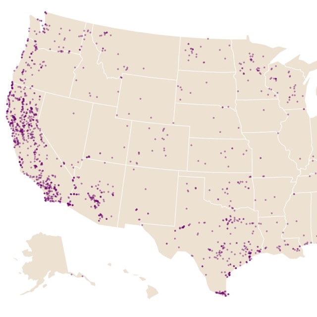
In case you want to find an RV park, close to one of these areas, this map of RV campgrounds might help you.
High Conservation Marine Protected Areas
As international requirements for protection of Marine Habitats increase, the U.S. has established nearly 1,000 MPAs (as defined by the International Union for the Conservation of Nature, (IUCN)). These areas follow IUCN's definition of MPAs which is: "a protected area is a clearly defined geographical space, recognized, dedicated and managed, through legal or other effective means, to achieve the long term conservation of nature with associated ecosystem services and cultural values. (IUCN Definition 2008). Source: IUCN.
This definition, highlights the long term preservation of Marine Areas, they do not include areas managed for sustainable production.
These highly protected areas, are described as Site Specific Management Plan and are depicted in red, on the map. They make up 26% of US waters.
Based on scientific guidance, every country in the world committed to protecting at least 10% of their marine areas by 2020. Unfortunately, this was not achieved.
Furthermore, some scientists believe this is not enough. They think that the area needs to be closer to 25% or 30%.
Interested in Public Lands and Natural areas? Check this map of U.S. Public Lands
Largest U.S. Marine Protected Areas
According to IUCNs definition of Protected Areas, the largest US areas are: MPA Coverage
| Largest U.S. MPAs | Marine Area (mi2) |
|---|---|
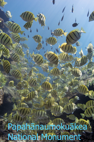
| Papahānaumokuākea Marine National Monument | 585k |
| Pacific Remote Islands Marine National Monument | 490k |
| Marianas Trench Marine National Monument and Marianas Trench National Wildlife Refuge | 96k |
| National Marine Sanctuary of American Samoa and Rose Atoll National Marine Monument | 14k |
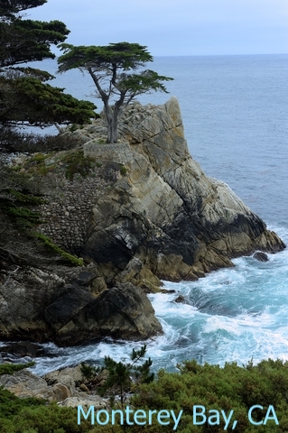
| Monterey Bay National Marine Sanctuary | 6k |
| Northeast Canyons and Seamounts Marine National Monument | 5k |
| Yukon Delta National Wildlife Refuge | 4k |
| Thunder Bay National Marine Sanctuary | 4k |
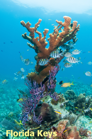
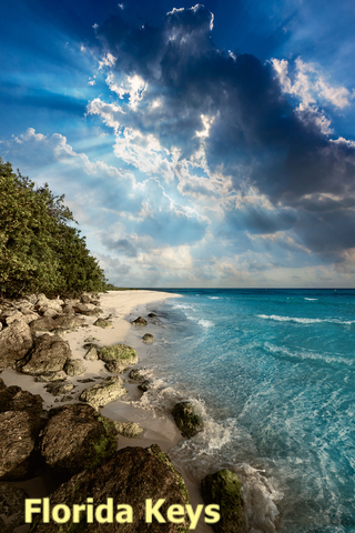
| Florida Keys National Marine Sanctuary | 4k |
| Greater Farallones National Marine Sanctuary | 3k |
For inspiring stories and incredible pictures about the future and the state of the Ocean, I suggest you read this book found on Amazon, Blue Hope: Exploring and Caring for Earth's Magnificent Ocean.
Marine Areas Designations
Among the MPAs there are different designations depending on who manages the designated area. These include Refuges and Sanctuaries.
Founded by President Theodore Roosevelt in 1903 and administered by the U.S. Fish and Wildlife Service, the National Wildlife Refuge System is a diverse network of lands and waters dedicated to conserving America’s rich fish and wildlife heritage. Source: FWS.gov
The Office of National Marine Sanctuaries serves as the trustee for a network of underwater parks encompassing more than 600,000 square miles of marine and Great Lakes waters from Washington state to the Florida Keys, and from Lake Huron to American Samoa. The network includes a system of 14 national marine sanctuaries and Papahānaumokuākea and Rose Atoll marine national monuments. They are managed by NOAA. Source: NOAA.gov
Want to learn where are other aquatic natural areas? Check this map of US hot springs
No-Take MPAs
No-Take Marine Protected Areas forbids any extractive activity or action that removes, or extracts, any resource. Extractive activities include fishing, hunting, logging, mining, and drilling. Shell collecting and archaeological digging are also extractive.
In No-take reserves worldwide, research documented an average increase of 446 percent in total marine life, but No-take requires enforcement Sport Diver
Research shows that these highly restricted areas have produced stronger conservation outcomes, than more extractive areas.
No-take MPA's occupy only 3% of all U.S. waters. Most of them are located in two large MPAs in the remote Pacific Ocean: Papahānaumokuākea Marine National Monument and Pacific Remote Islands Marine National Monument.
Another example of No-Take zone closer to Continental U.S. is Dry Tortugas National Park in South Florida.
When you hover over the MPAs you may read "Protection Level" assigned to the area. This is where you will find the No-Take protection level.
As mentioned before some of these areas have multiple uses. Even some of the large parks with No-take level of protection may have fishing allowed in some sections.
Some argue that indigenous communities should have free access to these No-take areas.
Either way not all MPAs are equal, as the oceans are not homogenous. Protecting 1% in one area does not equate to 1% in another area. This is because each zone does not have the same number of species, productivity, or abundance as other areas.
Public Lands Map Resources
The shapefiles for the Marine Protected Areas were downloaded from USGS. The shapefiles for the states was downloaded from Natural Earth.
This map will be updated with new data! To receive updates on this and more nature maps join my email list!!!!!!!
Made by Luz K. Molina with D3.js.