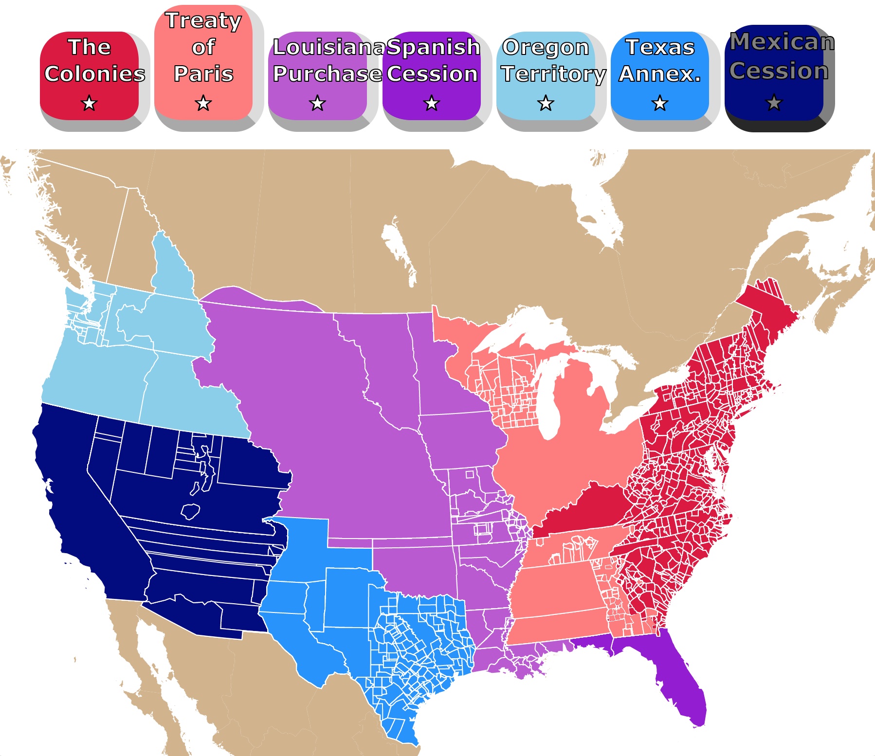
U.S. Expansion Interactive Map
This map displays the expansion of the newly created United States. It starts with the original 13 Colonies through the Mexican Cession. To see how the country began and grew, press the buttons for each treaty or purchase. Zoom in on the map to take a closer look! Hover to get the name, dates, and details. For more information, scroll down.
Map of U.S. Expansion
The map above gives 5 snapshots of the expansion of the United States. Its major boundaries are Territory/State Lines. These are subdivided by counties.
Because the expansions were not consecutive but more of a series of simultaneous and sometimes extended events. The display of territories does not necesarily follow a consecutive timeline.
The boundary lines change frequently. So do the names.
It summarizes the complex history of U.S. expansion. It mainly encompasses the period between 1777 and 1860.
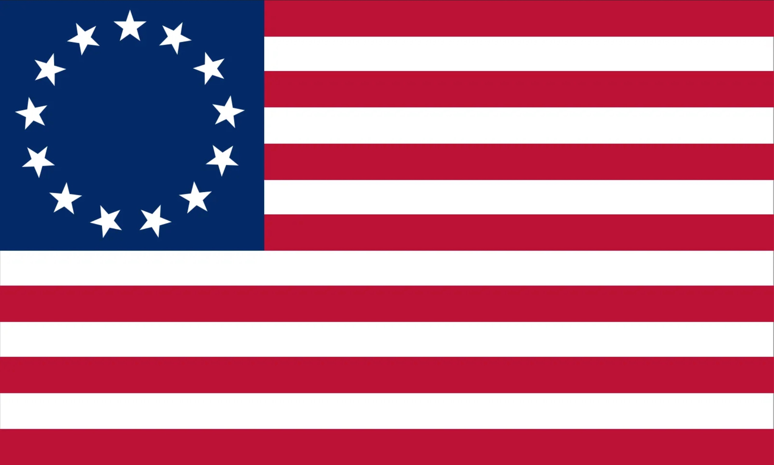
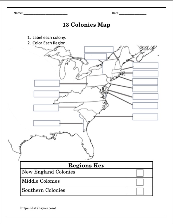
THE 13 COLONIES
During British rule, the colonies limited their expansion to The Royal Proclamation of 1763.
After the Seven Year's War (also known as the French and Indian War), France ceded to Great Britain through the Treaty of Paris in 1763, a large area west of the 13 Colonies.
The area was bounded by the Appalachian Mountains and the Great Lakes.
It intended for the areas with rivers that flowed to the Atlantic to be for the British colonists. The lands with rivers that flowed to the Mississippi River for the Native American Populations.
This boundary, established with the Royal Proclamation, was initially intended as an Indian Reserve. It also limited the British Territories of North America.
It was not intended as an uncrossable line but to prevent future conflict. Colonists could cross it but not settle beyond it.
After the Revolution, the original 13 Colonies formed a new nation.
With the Lee Resolution, passed by the Second Continental Congress (1775 - 1781), the colonies ratified that they were no longer colonies but independent states.
These were renamed The United States of America.
Map of the United States
TREATY OF PARIS 1783
The Treaty of Paris of 1783 (not to be confused with the Treaty of Paris of 1763 mentioned above!) was signed by representatives from King George III and the United States.
It recognized the United States as a new nation.
The treaty also enlarged U.S. boundaries. After the treaty Americans were able to settle beyond the Appalachian Mountains.
To learn more about this period in U.S. history, Amazon has The Quartet: Orchestrating the Second American Revolution, 1783-1789. This book gives us a gripping and dramatic portrait of one of the most crucial and misconstrued periods in American history: the years between the end of the Revolution and the formation of the federal government.
Northwest Ordinance

The Northwest Ordinance, also known as the Ordinance of 1787, created the Northwest Territory.
This area comprises parts of present-day Ohio, Indiana, Illinois, Michigan, and Wisconsin.
The ordinance outlined the process for territorial areas to eventually become states within the Union, including the requirement that a territory must have a certain population and meet specific conditions for statehood.
It also set guidelines for selling of public lands to settlers, with the revenue used to support education. The ordinance also protected property rights and religious freedom for settlers.
Southwest Territory
What used to be the Southwest Territory is now Tennessee. This territory was, at some point, part of North Carolina.
It was admitted to the Union on June 1, 1796, as the 16th state.
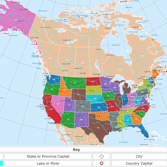
Elevation Map of the United States
Kentucky
Kentucky was part of the Virginia Colony, west of the Appalachians. Because of this, it is shaded in red on the map.
A series of county divisions resulted in Kentucke County.
It was admitted into the Union in 1792.
Mississippi
During the 1700s, Native Americans, French colonists, and Spanish Colonists occupied parts of Mississippi.
The British assumed control of the northern part of this territory after the French and Indian War.
Land ceded from Georgia and South Carolina formed the Mississippi Territory in 1798.
Mississippi became the 20th state on December 10, 1817.
Louisiana Purchase
The Louisiana Purchase was a significant land acquisition by the United States from France in 1803.
It involved the purchase of a vast territory, spanning approximately 828,000 square miles, for $15 million.
This acquisition doubled the size of the United States and extended its western boundaries to the Rocky Mountains.
In 1672, the land was part of the Spanish empire, but France acquired Louisiana from Spain in 1800.
Napoleon wanted Louisiana to become a pivotal part of the French Empire. Nevertheless, due to other losses, Napoleon decided to sell it to the United States.
The land bought in the Louisiana Purchase included parts or all of the 15 current U.S. states of Louisiana, Arkansas, Missouri, Iowa, Oklahoma, Kansas, Nebraska, North Dakota, South Dakota, and parts of Minnesota, New Mexico, Montana, Wyoming, and Colorado.
It was a pivotal moment in American history, as it provided more land for westward expansion access to the Mississippi River and established the U.S. as a significant player in North American geopolitics. Source: U.S. Dept of State.
For more exciting facts about the Louisiana purchase, Amazon has A Wilderness So Immense: The Louisiana Purchase and the Destiny of America. This book recounts the fascinating tale of the personal maneuverings, political posturing, and international intrigue that culminated in the greatest land deal in history.
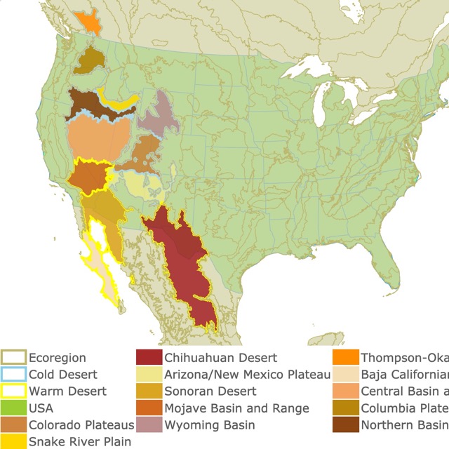
Map of Deserts in North America
Spanish Cession

Spanish Cession, on the map, refers mainly to the acquisition of the state of Florida!
Florida was settled by Spaniards for 200 years. It then went to British hands for 20 years and back to Spanish hands for another 50 years.
In the early 1800s, Georgia settlers complained about Seminole Indians invading and raiding their lands. When pursued, they would see refuge in Florida.
Tired of this and looking forward to expanding the U.S., Andrew Jackson invaded Florida in pursuit of the Seminole Indians.
In 1821, Florida became a U.S. territory. Source: Florida Memory.
Texas Annexation
Texas was part of the Spanish empire. When Mexico became independent, it became part of the newly independent Mexico.
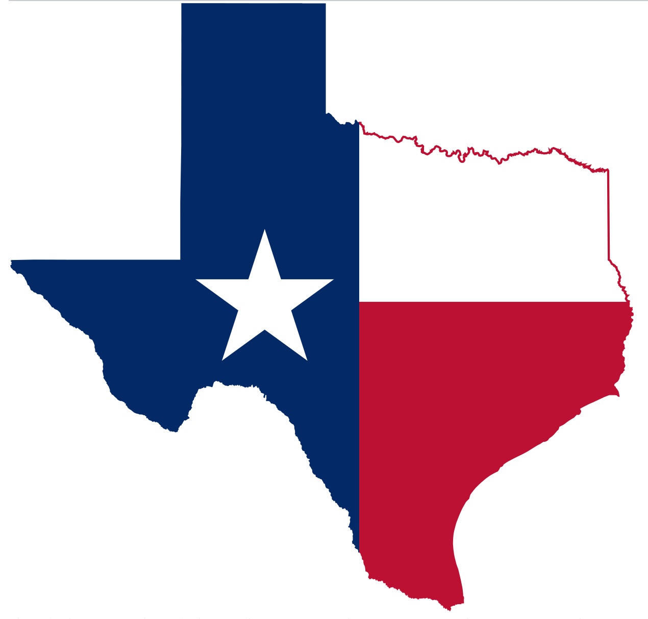
To populate Texas, Mexico accepted U.S. settlers to claim land in Texas.
These settlers eventually had frictions with the Mexican authorities and declared independence to form the Texas Republic in 1836.
The newly formed Texas Republic could not defend itself from further incursions by Mexican troops. It eventually negotiated with the U.S. to join the Union in 1845. Source: Texas.
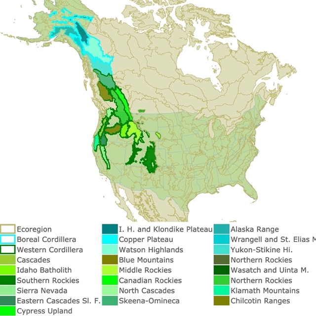
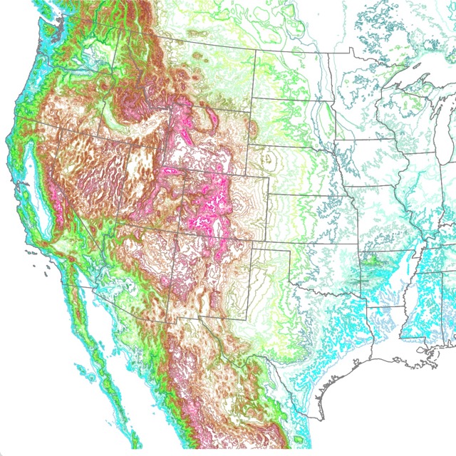
Map of Northwestern Mountains
Oregon Territory
The Lewis and Clark Expedition crossed Oregon in the 1800s. The first European settlers were established by fur trappers and traders.

In 1848, the Oregon Territory was created. At the time, the Oregon Territory included all of the present-day states of Oregon, Washington, Idaho, and parts of Montana and Wyoming. Source: Oregon.
This map also includes lands that later became part of Canada.
This is because of Oregon Country. This was a large Pacific Northwest region subject to a dispute between the United Kingdom and the United States.
The United Kingdom and the U.S. settled the problem with the Oregon Treaty in 1846.
It established the British-American boundary at the 49th parallel (except Vancouver Island).
With the end of joint occupancy, the region south of the 49th parallel became Oregon Territory in the United States, while the northern portion became part of the British colonies of British Columbia and Vancouver Island.
The area that encompassed Oregon Country is the present-day Canadian province of British Columbia and the entirety of the U.S. states of Oregon, Washington, and Idaho, as well as parts of Montana and Wyoming. Source: Historylink.
Oregon became a state in 1859.
Mexican Cession

Mexico did not recognize Texas as a legitimate American territory. This resulted in the Mexican-American War.
American forces captured Mexico City within 16 months of the war’s beginning.
The treaty of Guadalupe Hidalgo in 1848 ended the war.
In its terms, 55 percent of Mexican territory was ceded to the United States. It included the present-day states of California, Nevada, Utah, New Mexico, most of Arizona and Colorado, and parts of Oklahoma, Kansas, and Wyoming.
Mexico stopped the claims to Texas and recognized the Rio Grande as the southern border with the United States.
FOLLOW ME
Thank you for Subscribing!
Resources for U.S. Expansion Map
The shapefiles of U.S. Counties were downloaded from Atlas of Historical County Boundaries.
The shapefiles with U.S. Borders were obtained from Natural Earth.
Made by Luz K. Molina with D3.js.