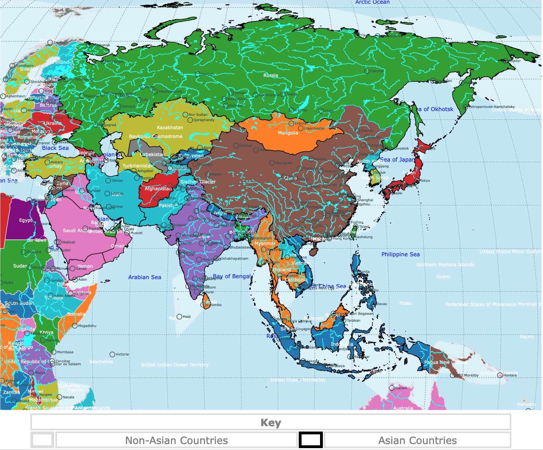
Map of Asia
This is an interactive political map of Asia. It displays countries, rivers, lakes, and cities. Asian countries have a black border. Hover over the map for population, GDP, geography, and river names. To take a closer look, zoom in. For more information, scroll down.
| Key | ||||
|---|---|---|---|---|
| Non-Asian Countries | Asian Countries | |||
| ⬤ | Country Capital | ◯ | City | |
| Lake or River | Ocean | |||
Asia
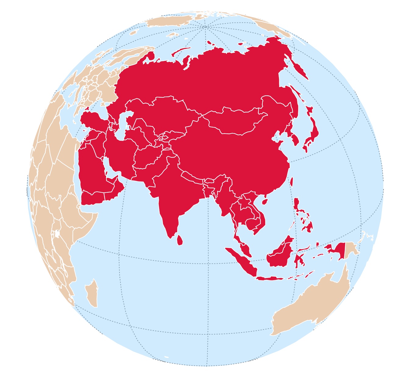
Asia is the largest continent by land area, covering about 30% of the Earth's total land area.
Asia is located primarily in the Eastern and Northern Hemispheres of Earth. It is bordered by the Pacific Ocean to the east, the Indian Ocean to the south, and the Arctic Ocean to the north.
To the northeast, Asia is separated from North America by the Bering Straight.
To the west, Asia is bordered by Europe. Both continents are separated by the Ural Mountains in Russia
Also to the east is Africa. Both continents are connected by the Sinai peninsula in Egypt.
It is not easy to condense the geography of a far-reaching continent like Asia in one post. Nevertheless, describing one country at a time is more plausible. Amazon has the Illustrated Atlas of India: A Visual Guide to the Land, Its People, and Culture. This book expands the definition of an atlas. It taps into the essence of each state, its culture, history, and people. A special highlight includes spreads on India's leading cities, delving into their heart and soul.
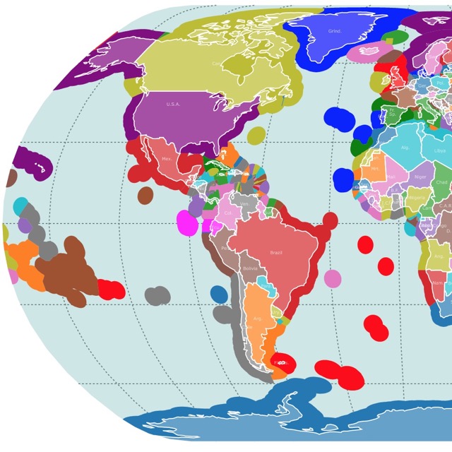
World Map
Geography of Asia
The geography of Asia is incredibly diverse, encompassing a wide range of landforms, climate zones, and ecosystems.
Landforms in Asia
Asia is characterized by several major mountain ranges and plateaus.
Over Tajikistan is the Pamir Knot. This is the convergence of one of the world's major mountain ranges, including the Tian Shan, Karakoram, Kunlun, Hindu Kush, and Pamir systems..
The vast Tibetan Plateau, often called the "Roof of the World," is located in western China and is Earth's highest and largest plateau.
The Himalayas located on Nepal, are the highest mountain range in the world, with Mount Everest as its pinnacle.
The formation and elevation of the Himalayas is due to the collision of 2 tectonic plates.
This collision began after Pangaea broke apart about 200 million years ago, and India began to move northward.
The Indian subcontinent keeps shifting north, colliding with the Eurasian plate and resulting in the rapid uplift of the Himalayas.
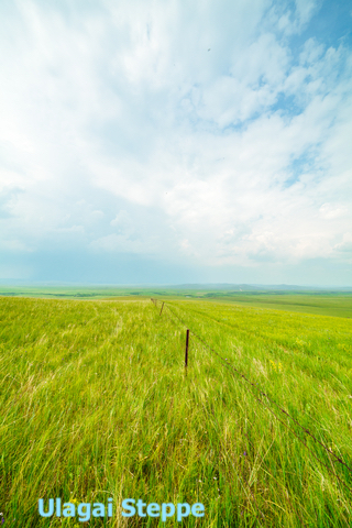
Asian Plains and River Systems
Asia has extensive river systems that have played a crucial role in shaping civilizations.
Major rivers include the Yangtze, Yellow, Mekong, Ganges, Brahmaputra, Indus, Amur, and Irrawaddy. These rivers traverse vast plains and support fertile agricultural regions.
The Ganges-Brahmaputra Delta, formed by the confluence of these two rivers in Bangladesh, is the world's largest delta.
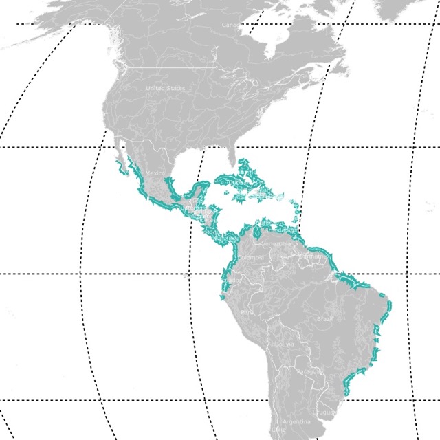
World Map of Mangrove Forests
Asian Deserts
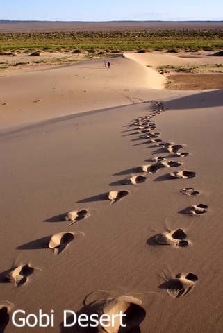
Asia features several notable deserts.
The Gobi Desert, located in northern China and southern Mongolia, is a vast expanse of arid land.
The Taklamakan Desert in western China is known for its shifting sand dunes, while the Arabian Desert covers parts of the Arabian Peninsula.
The Thar Desert in northwestern India and Pakistan is another significant desert region.
Coastlines and Islands in Asia
Asia has extensive coastlines along the Pacific Ocean, Indian Ocean, and Arctic Ocean.
The continent is home to numerous archipelagos and islands. Notable ones include the Indonesian Archipelago, which consists of thousands of islands, including Sumatra, Java, Borneo, and Bali.
The Japanese archipelago, the Philippine Islands, the Maldives, and Sri Lanka are other prominent island groups.
It is important to highlight that the eastern side of Asia is on the Ring of Fire, and the area is affected by earthquakes, tsunamis, and volcanoes.
This is thanks to the tectonic activity in the area and has resulted in the presence of all these islands and archipelagos.
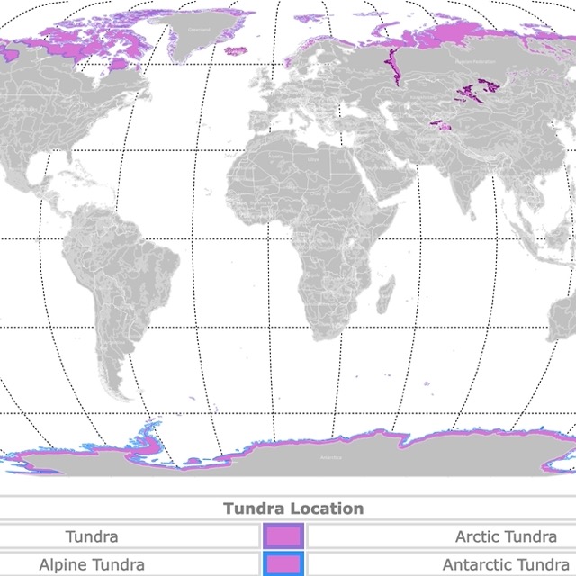
World Tundra Map
Climate Zones in Asia
Asia experiences a wide range of climates due to its vast size and varied topography.
The northern regions, such as Siberia, have a severe subarctic and Arctic climate. At the same time, central Asia features a continental climate with hot summers and cold winters.
The southern parts of Asia, including Southeast Asia and the Indian subcontinent, have tropical and equatorial climates, characterized by high temperatures and abundant rainfall.
Monsoon
The monsoon is a seasonal weather pattern that greatly influences the climate of Asia.
It is characterized by a shift in wind patterns and the alternating occurrence of wet and dry seasons.
The Indian monsoon is one of the most significant monsoon systems globally. It occurs due to the differential heating of the landmass of the Indian subcontinent and the Indian Ocean.
From June to September, the southwest monsoon brings moist air from the Indian Ocean, resulting in heavy rainfall over the subcontinent. This rainfall is crucial for agriculture and supports the livelihood of millions of people.
Typhoons
Typhoons are powerful tropical cyclones that occur in the western Pacific Ocean, particularly in the region of Asia.
Countries such as Japan, Taiwan, the Philippines, China, South Korea, and Vietnam often experience the impacts of typhoons.
The typhoon season in Asia varies by region but generally spans from May to October, with peak activity occurring from July to September.
Biodiversity
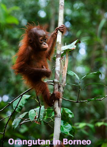
Asia is renowned for its rich biodiversity. It is home to diverse ecosystems, including tropical rainforests, temperate forests, alpine meadows, mangroves, coral reefs, and vast grasslands.
These ecosystems support a wide array of plant and animal species, including iconic animals like tigers, pandas, elephants, rhinoceroses, and orangutans.
Overall, Asia is a vibrant and culturally diverse continent with a rich history, stunning landscapes, and a significant impact on global politics, economics, and culture.
Map of Exclusive Economic Zones Worldwide
Asia's Population
Asia is the most populous continent on Earth, with a diverse and rapidly growing population.
Asia accounts for over 4.7 billion people, which is more than 60% of the world's total population. Source: Worldometer.
Several countries in Asia have extremely high populations. China, with over 1.4 billion people, is the most populous country globally.
If you want to read more about China, Amazon sells China's Geography: Globalization and the Dynamics of Political, Economic, and Social Change, Fourth Edition (Changing Regions in a Global Context: New Perspectives in Regional Geography Series). This text traces the changes occurring in this powerful and ancient nation across both time and space.
India follows closely behind, with a population exceeding 1.3 billion. Other densely populated countries in Asia include Indonesia, Pakistan, Bangladesh, Japan, the Philippines, Vietnam, and Iran.
Asia's population distribution is not evenly spread across the continent.
Coastal areas and major river valleys tend to have higher population densities, while certain regions with challenging geographical features, such as mountains and deserts, have lower densities.
Urban areas are also major population centers, with numerous mega-cities and bustling metropolises. Cities like Tokyo, Shanghai, Mumbai, Jakarta, and Seoul are known for their large populations and urbanization.
Asia's population is characterized by its diversity in terms of ethnicities, cultures, languages, and religions.
Asia's GDP
Asia's highest GDP (Gross Domestic Product) countries are shown in the video below.
This timeline depicts how the GDP increases from 1960 to 2022.
Asian Countries and Capitals
| Country | Capital | Country | Capital |
|---|---|---|---|
| Afghanistan | Kabul | Malaysia | Kuala Lumpur |
| Armenia | Yerevan | Maldives | Male |
| Azerbaijan | Baku | Mongolia | Ulaanbaatar |
| Bahrain | Manama | Myanmar | Naypyidaw |
| Bangladesh | Dhaka | Nepal | Kathmandu |
| Bhutan | Thimphu | North Korea | Pyongyang |
| Brunei | Bandar Seri Begawan | Oman | Muscat |
| Cambodia | Phnom Penh | Pakistan | Islamabad |
| China | Beijing | Philippines | Manila |
| Cyprus | Nicosia | Qatar | Doha |
| East Timor | Dili | Russia | Moscow |
| Georgia | Tbilisi | Saudi Arabia | Riyadh |
| India | New Delhi | Singapore | Singapore |
| Indonesia | Jakarta | South Korea | Seoul |
| Iran | Tehran | Sri Lanka | Sri Jayawardenepura Kotte |
| Iraq | Baghdad | Syria | Damascus |
| Israel | Jerusalem | Tajikistan | Dushanbe |
| Japan | Tokyo | Thailand | Bangkok |
| Jordan | Amman | Turkey | Ankara |
| Kazakhstan | Nur-Sultan | Turkmenistan | Ashgabat |
| Kuwait | Kuwait City | United Arab Emirates | Abu Dhabi |
| Kyrgyzstan | Bishkek | Uzbekistan | Tashkent |
| Laos | Vientiane | Vietnam | Hanoi |
| Lebanon | Beirut | Yemen | Sana'a |
Follow Me
Resources for Asia Map
The shapefiles with the world's countries, rivers, lakes, and oceans were obtained from Natural Earth.
This map will be updated with new data! To receive updates on this and more maps, join my email list!!!!!!!
Made by Luz K. Molina with D3.js.