Ocean Depth Map
This map shows the different depths of the bottom of the ocean. Each depth has a different shade of blue. For more information, hover over the map; for more detail, zoom in. Scroll down if you want to read more about ocean depth.
Depth in Feet
Bathymetric Map
This is a Bathymetric Map. It shows the depth of the Ocean Floor around the world.
Bathymetry measures the depth of the water in oceans, rivers, or lakes.
Bathymetric maps or charts look a lot like topographic maps. They use lines to show the shape and elevation of land features. On Bathymetric Maps, the lines connect points of equal depth.
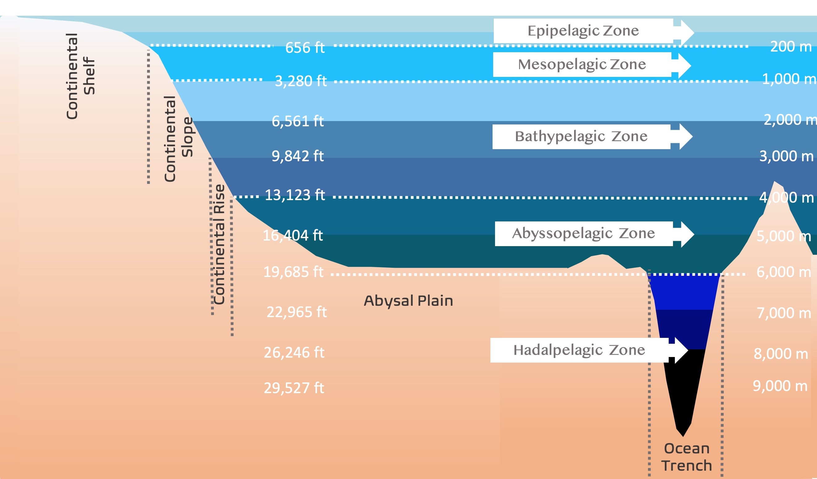
The depth in feet looks arbitrary, but it corresponds to the depth in meters. The gaps or distances between depths are 1000m. The only gap with a different value is the first one which is 200m. This is the continental Shelf or Epipelagic Zone.
The colors on this map are not continuous. They are just different shades of blue to highlight the various features of the sea bottom.
For a broad look at the ocean's depth, Amazon has Hidden Depths: Atlas of the Oceans. This publication was written by NOAA and covers the ocean's formation to current efforts for its conservation.
Vertical Divisions of the Ocean
As the depth in the ocean increases, the water column has different characteristics and light penetration. These are the Ocean Zones.
The table below shows the depth in meters and feet. It also indicates Ocean Zones and Seafloor features. Each one of these zones is explained below.
| Color | Depth in Feet | Depth in Meters | Ocean Zones | Seafloor Features |
| 0 | 0 | Epipelagic Zone | Continental Shelf | |
| 656 | 200 | |||
| 3,280 | 1,000 | Mesopelagic Zone | Continental Slope | |
| 6,561 | 2,000 | Bathypelagic Zone | ||
| 9,842 | 3,000 | |||
| 13,123 | 4,000 | Continental Rise | ||
| 16,404 | 5,000 | Abyssopelagic Zone | Abyssal Plain | |
| 19,685 | 6,000 | |||
| 22,965 | 7,000 | Hadalpelagic Zone | Oceanic Trench | |
| 26,246 | 8,000 | |||
| 29,527 to 36,089 | 9,000 to 11,000 |
Interested in Water Features and Geology? Check these underwater caves called Cenotes!
Seafloor Features
Continental Shelf
The Continental Shelf is the part of the continent that is submerged under water. This area is relatively shallow. It starts at the coastline of a continent and ends at the shelf break.
Continental shelves are part of the continent even though they are underwater.
The continental shelf was exposed to sea-level drops due to glacial periods.
The average depth of the Continental sea Shelf is 150m (492ft). The width varies across continents, but it can average 80km (49.7mi).
If you look at this map, the light blue colors next to the continents show the sea shelf.
South America, next to the Pacific, has a narrow shelf, while the Bering Sea has a wide Continental Shelf.
Sunlight penetrates continental shelves' shallow waters, making these areas rich in sea life, from microscopic algae to big mammals like sea lions. Another reason this area is rich in organisms is that it receives nutrients from river runoff.
Continental Slope
Continental Slope is the slope between shelf break and the deep ocean floor. About 8.5 percent of the ocean floor is covered by the continental slope.
The continental slope is part of the Continental crust.
The average angle of the continental slope is 4°. The Continental Slope on the Pacific Ocean tends to have more than 5° because it is an active Margin. The Atlantic Coast is more passive and usually has less than 3°.
Continental slopes can be cut by submarine canyons. An example is the Congo canyon which follows the mouth of the Congo River.
Close to the continents, the sea shelf slope increases dramatically. This is why it is not prominent on the map. It is quite challenging to find this depth as it is very narrow.
Continental Rise
The continental rise is a wedge of sediment accumulated at the base of the slope due to the change in gradient from the steeper slope to the virtually flat abyssal plain. This sediment build-up is similar to the debris that accumulates at the base of a cliff.
It is mainly silts, mud, and sand deposited by turbidity flows.
Continental rise is almost absent where there are sea trenches due to active subduction zones.
Abyssal Plain
Abyssal Plains are underwater plains on the deep ocean floor.
They are usually 4500 and 6000 meters deep. They are some of the flattest places on Earth.
Trenches
Trenches are long and narrow canyon-like features, parallel to continental margins. They are the deepest parts of the ocean floor.
Trenches are associated with intense volcanic activity, usually in the form of volcanic arcs or volcanic island chains, that develop above the descending side of the subducting plate associated with a trench. Most tranches are in the Pacific Ocean. Source: Geologycafe.com
Mid Ocean Ridges
The Ocean Ridges are another visible part of this map. They are not in the table but visible in the areas where the continental plates are separating. Especially visible in the Atlantic Ocean, between South America and Africa.
Mid Ocean Ridges are underwater mountain ranges formed by plate tectonics.
These ridges are uplifted because of the convection currents that rise in the mantle beneath the ocean crust. Therefore forming underwater mountain ranges throughout the globe. Source: Science Daily.
The latest measurements of the ocean seafloor were made with satellite information. These estimates keep updating as we get more information from the seafloor.
Ships like NOAA's Okeanos Explorer are required to fine-tune satellite data. So far, only 10% of the bottom of the ocean has been mapped, so these estimates will keep changing. NOAA.gov
If you find the ocean floor fascinating, Amazon has an indepth look at its formation. Mid-Ocean Ridges by Roger Searle presents a multidisciplinary approach to the science of mid-ocean ridges – essential for a complete understanding of global tectonics and geodynamics.
Ocean Zones
Epipelagic Zone
Epipelagic or upper ocean is the part of the open ocean above 200m.
This is the part of the ocean where there is enough sunlight for algae to make photosynthesis (the process by which organisms use sunlight to convert carbon dioxide into food).
Photosynthetic organisms are primary producers. They are the base of the food chain that sustains the rest of the organisms.
Therefore this zone is home to all sorts of sea life, like dolphins, tuna, and starfish. This zone also contains most of the fisheries.
Interested in Earth's Structure? Check this Tectonic Plates and Boundaries map.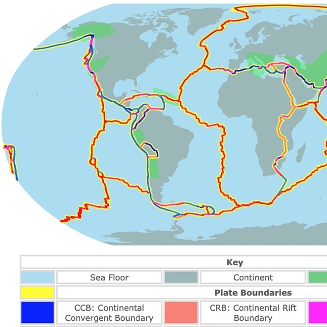
Mesopelagic Zone
The mesopelagic zone (or middle open ocean) stretches from the bottom of the epipelagic down to the point where sunlight cannot reach. This zone is below 200m and above 1000m.
Sunlight decreases rapidly with depth. Photosynthesis is not possible in this zone.
This zone is a major player at removing carbon dioxide from the atmosphere by storing it for centuries.
The organisms in this zone are not well known. This area is also subject to one of the largest migrations. Fish and zooplankton come here to retreat at dawn after feeding at night in the photic zone.
For an enchanting and mesmerizing account of ocean exploration, Amazon has The Bathysphere Book: Effects of the Luminous Ocean Depths written by Brad Fox. This book is a beautiful fusion of science writing, history and poetry.
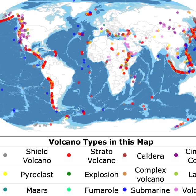
Interested in learning more about the geology of Earth's features? Check this map about volcanoes
Bathypelagic Zone
The Bathypelagic zone is below 1000m and above 4000m; this zone has no sunlight.
The water above creates incredible pressure.
Only Bacteria and soft-bodied organisms can thrive in these conditions.
Some organisms have bioluminescence and use it to attract prey or find a mate. Some species have lost their ability to see anything at all.
The main food source is the organic material that drops from the Mesopelagic zone.
Other organisms live from the bacteria that thrive in the methane and sulfides seeping from the ocean floor.
Abyssal Zone
It refers mainly to the waters above the continental rise, which are between 3000m to 6000m. It is hard to define exactly where the top limit of these waters is, but the best way to describe it is the area where the water hits 4 degrees Celsius (39.2F).
The waters are calm and unaffected by sunlight or storms on the surface.
No oxygen is produced as there is no photosynthesis. The oxygen present comes from horizontal flow derived from when the water left the polar regions.
Salinity is also constant and higher as there is no direct introduction of freshwater from rain or rivers above.
Nutrient concentration is higher as there are no plants to absorb it, and dead organisms settle on the ocean floor.
The ocean's average depth is 4000m (2.5miles), making this zone the most extensive living environment on Earth! "It covers over 300,000,000 square km (115,000,000 miles)–about 83% of the ocean’s total area and 60% of Earth’s surface." Untamed Science
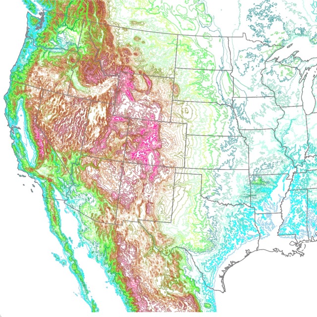
Talk about Topography? Check this Contour Elevation map of the U.S.
Hadalpelagic Zones
These zones are the deepest in the ocean. They are mainly deep ocean trenches and troughs.
This is the deepest marine habitat. It goes from 6000m to 11000m or 3.7 to 6.8 miles deep.
People used to think this area had no life. So far, they have discovered about 400 species, and the discoveries keep increasing with more research and better technology.
There are 21 trenches around the world. These are the darkest blue on the map. Some include the Mariana Trench, Japan, Peru-Chile, Tonga, Puerto Rico, and Java; Hades.
Follow Me
Resources Ocean Depth
The Bathymetry shapefiles to create this map were downloaded from Natural Earth.
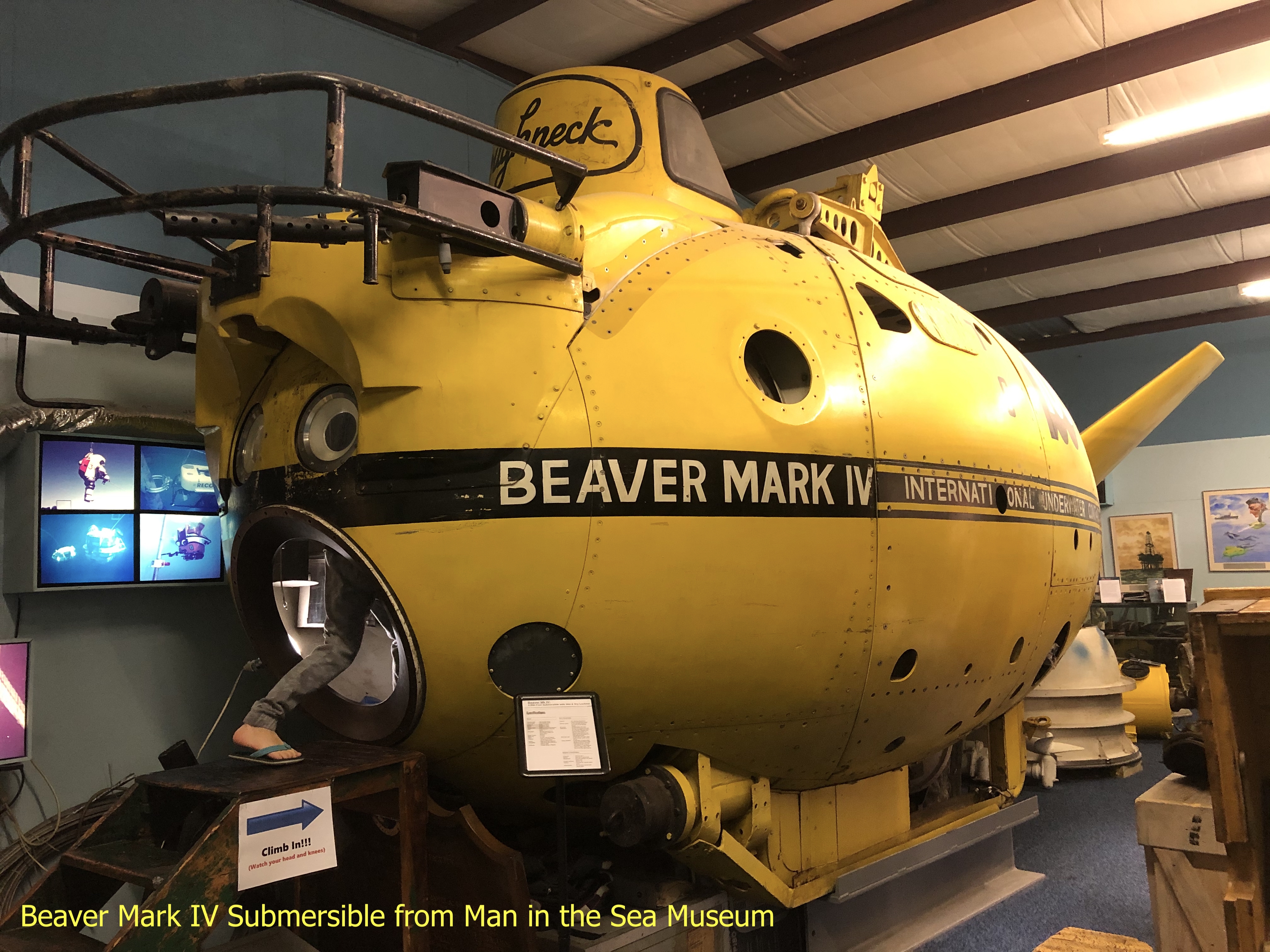
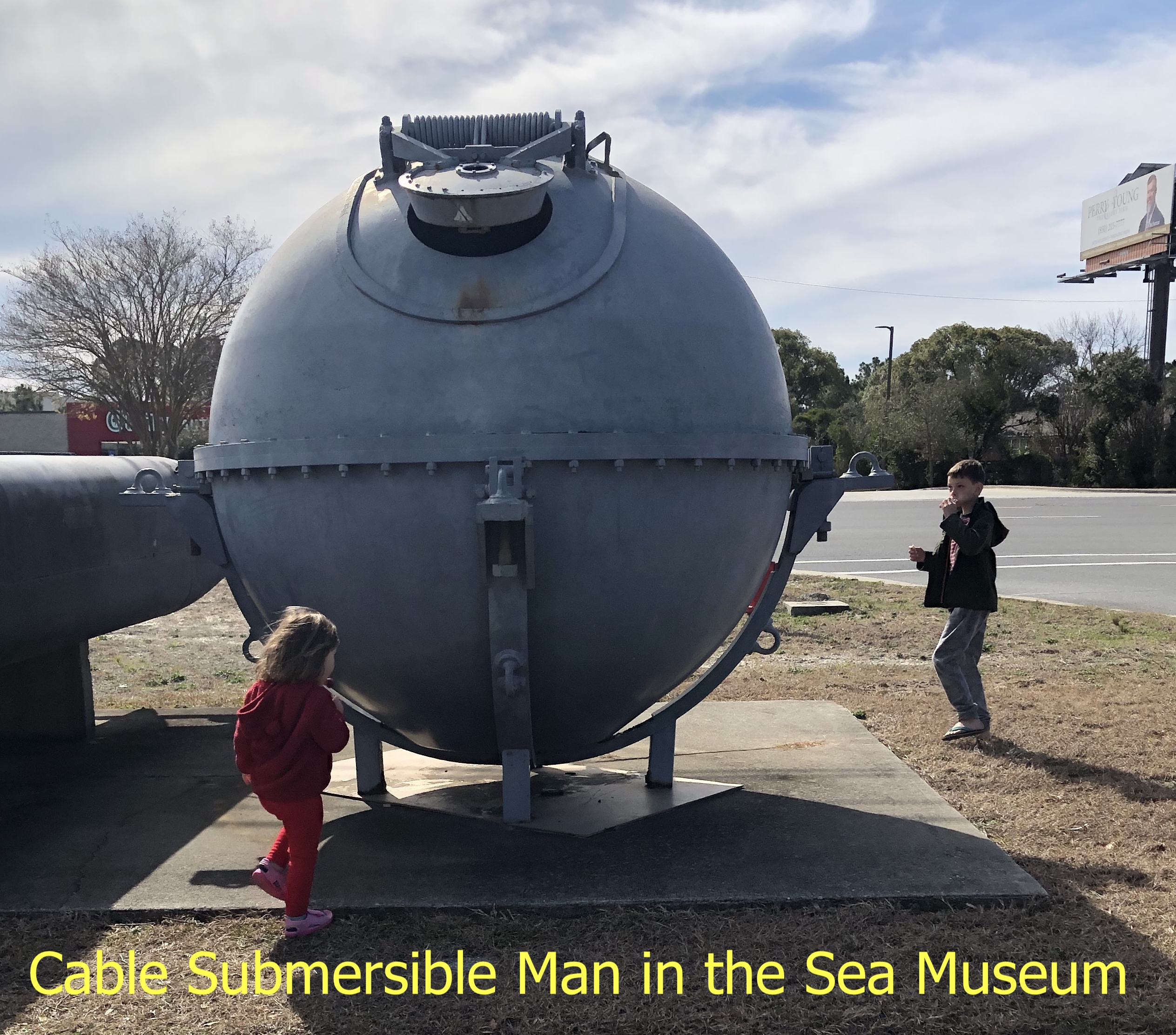
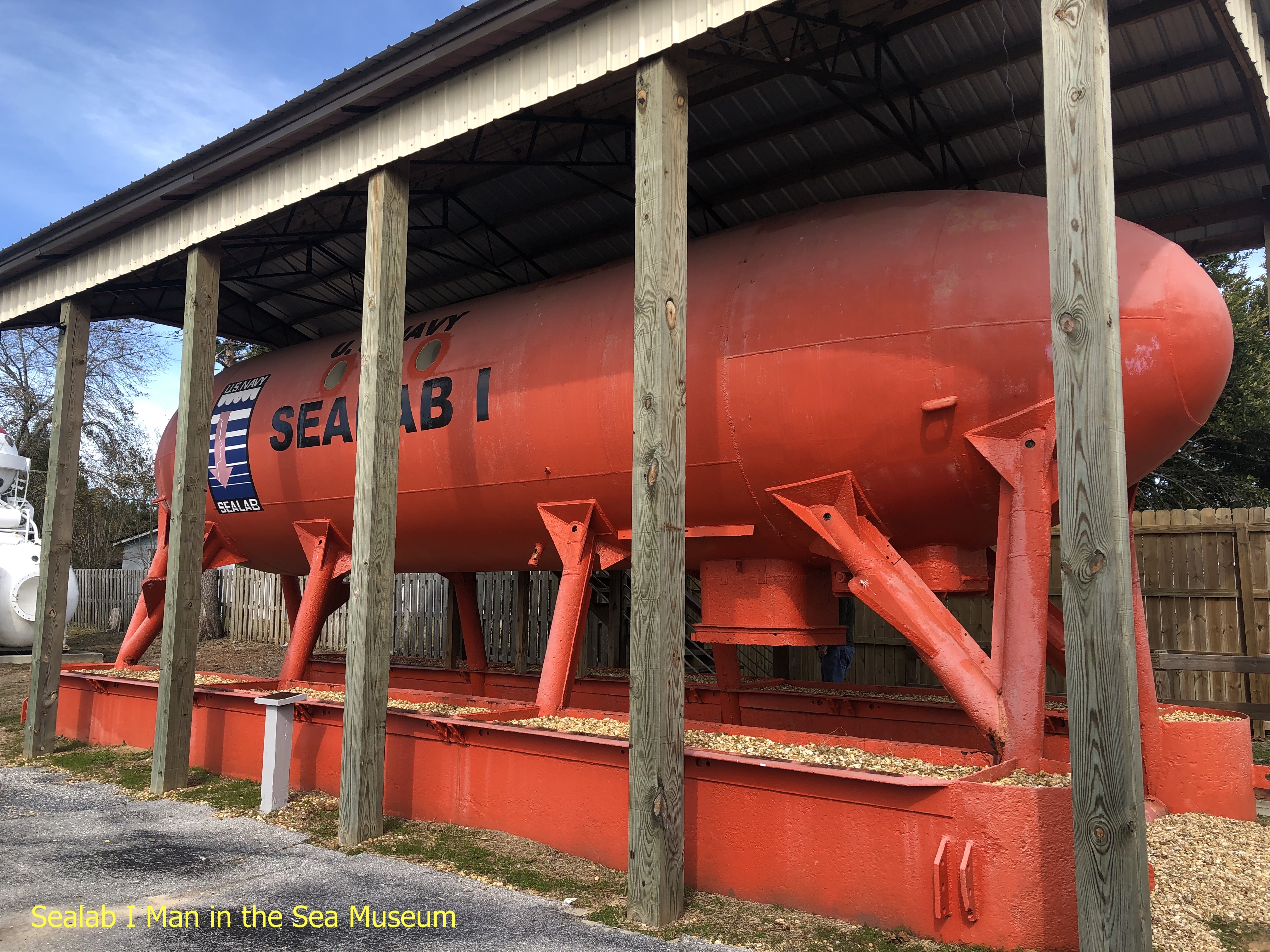
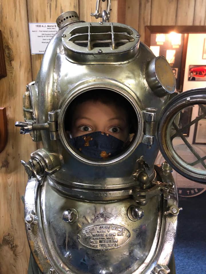
If you are interested in the history of diving and would like to learn more about the progress of underwater technology, from the earliest days of diving to the most modern underwater habitats, and if you happen to be close to Panama City, I suggest you go to the Man in the Sea Museum.
Seafloor Map Inspiration
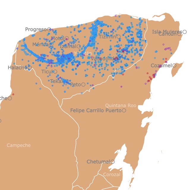
I made this map as a first attempt at visualizing seafloor for a fisheries chart. The map was never finished, but I really liked how the bathymetry of different depths looked.
I wanted to make it interactive and detailed, so the viewer could see how deep is each area under the sea.
To receive updates on this and more nature maps, join my email list!!!!!!!
