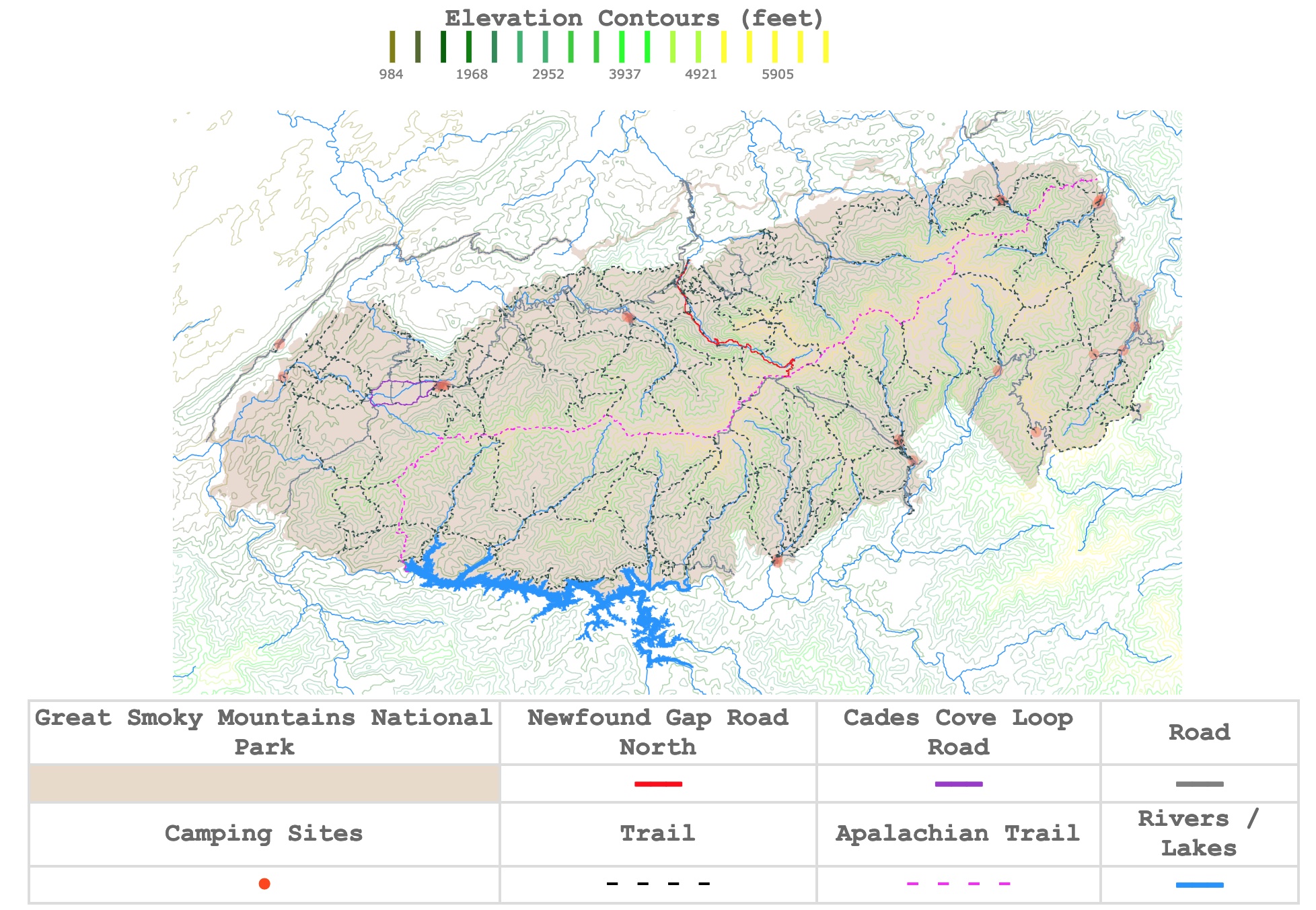
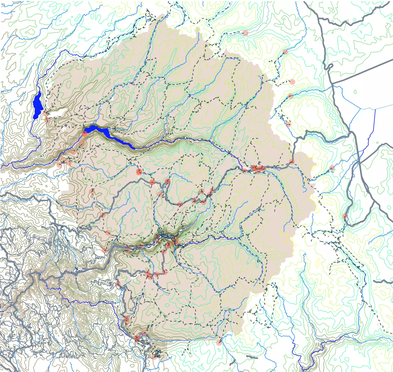
The Great Smoky Mountains National Park Map
This interactive map shows the contour lines of the Smoky Mountains National Park and its surroundings. Dark colors represent lower elevations. The map also indicates towns, rivers, roads, visitor centers, and trails in the park. For more detail, zoom in. For names and facts, hover over the map. For more information scroll down.
Elevation Contours (feet)
| The Great Smoky Mountains National Park | Newfound Gap Road North | Cades Cove Loop Road | Road |
|---|---|---|---|
| ━━━ | ━━━ | ━━━ | |
| Camping Sites | Trail | Apalachian Trail | Rivers / Lakes |
| ● | - - - - | - - - - | ━━━ |
| Towns | Visitor Centers | Mills | |
| ● | ● | ● |
Smoky Mountains National Park
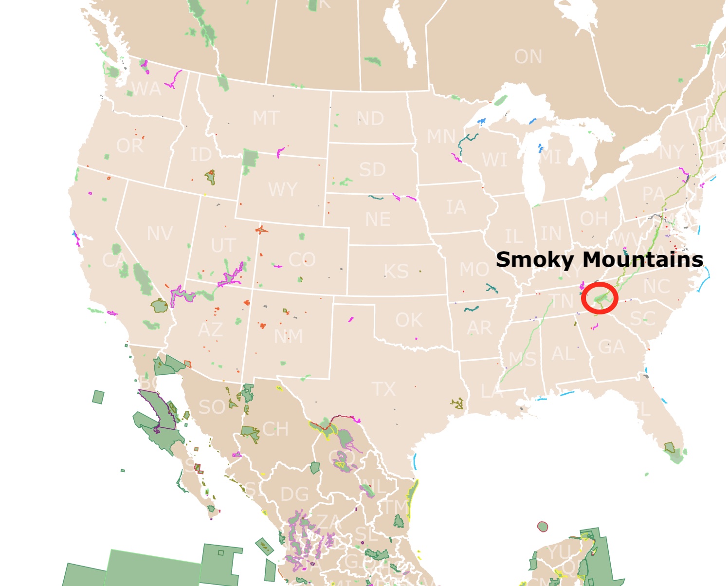
The Great Smoky Mountains National Park is North America's most visited National Park, attracting more than 200,000 visitors each year.
The park is also the largest protected area east of the Rocky Mountains!
Called the Smokies thanks to the continuous fog present in the morning hours throughout its range.
The park is known for its plant and animal diversity, deciduous forests, and waterfalls.
The park is shared between the states of Tennessee and North Carolina over the Appalachian Mountains.
Interactive Map of Yellowstone National Park
Gateway Towns to the Smoky Mountains
The drive from Gatlinburg to the Great Smoky Mountains border is not even 15min.
Tennessee Side
Knoxville is a major city near the Smoky Mountains. Nevertheless the best towns to stay near the park are:
Find time to stay in one of this towns as they are a destination in themselves.
- Gatlinburg: Coolest town to visit. Lots of attractions and things to do.
- Pigeon Forge: Disney on Steroids. So many options for fun, its like a fair on the road. Make sure you go to Dollywood.
- Townsend
North Carolina Side
Ashville is a popular tourist city on the North Carolina side, but not as close as the following towns.
- Cherokee
- Bryson City
- Maggie Valley
- Waynesville
- Hot Springs
If you wish to fly and stay in one of these towns, check here with Expedia:
Smoky Mountains Visitor Centers
The Great Smoky Mountain National Park has 4 visitor centers.
Sugarlands Visitor Center
Closest to Gatlinburg, TN. You will find all the information you need to visit the park. This is where you get your tickets to the park.
There are bathrooms and souveniers. It is a big Visitor Center and it can be quite crowded.
This is the place to ask questions and get free maps!
There are a few short trails nearby that end in waterfalls.

Oconaluftee Visitor Center
Closest to Cherokee, NC. Ideal for those interested in cultural exhibits.
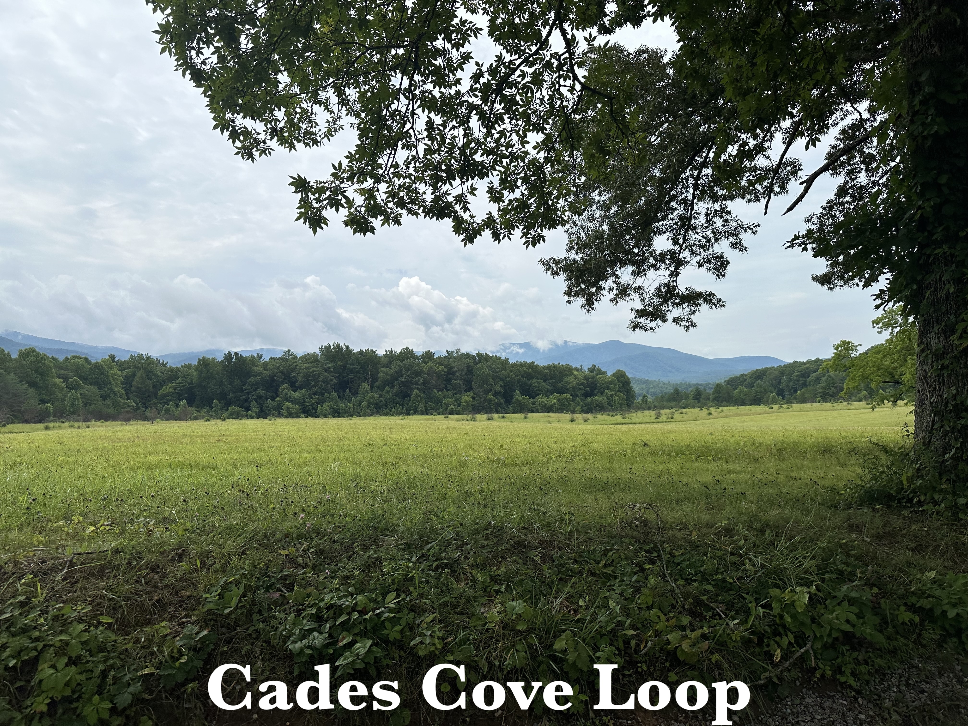
Cades Cove Visitor Center
Located half way through the Cades Cove Loop.
We were very excited to reach this loop as it took a while to reach it after the long winding drive from Sugarlands VC.
Because this is a clear area it is not rare to see bears and other animals.
There are different trails where you can see old houses and from a time before the park was established.
Kuwohi Visitor Center
Clingmans Dome or Kuwohi is the highest point in the Great Smoky Mountains National Park. Now it is also the highest in Tennessee and east of the Mississippi River. It reaches 6,643 feet (2,204m).
After you park it is a steep walk to reach the dome.
You get to see the Appalachian Trail on the way to the dome. But it is so narrow it is easy to miss it if you are not paying attention.
At the top of the dome you can have beautiful views of the mountains. In our case it was a lot of clouds...
Smoky Mountains Origins
Most of the rocks in the Smoky Mountains are metamorphosed sedimentary rocks. They uplifted millions of years ago as the Appalachian Mountain chain formed from Newfoundland to Alabama.
They used to be much higher, but they were worn down due to erosion from ice, wind, and water.
The hardest rock resistant to erosion is where you find the highest peaks and waterfalls. Source: NPS.gov
Smoky Mountains Waterfalls
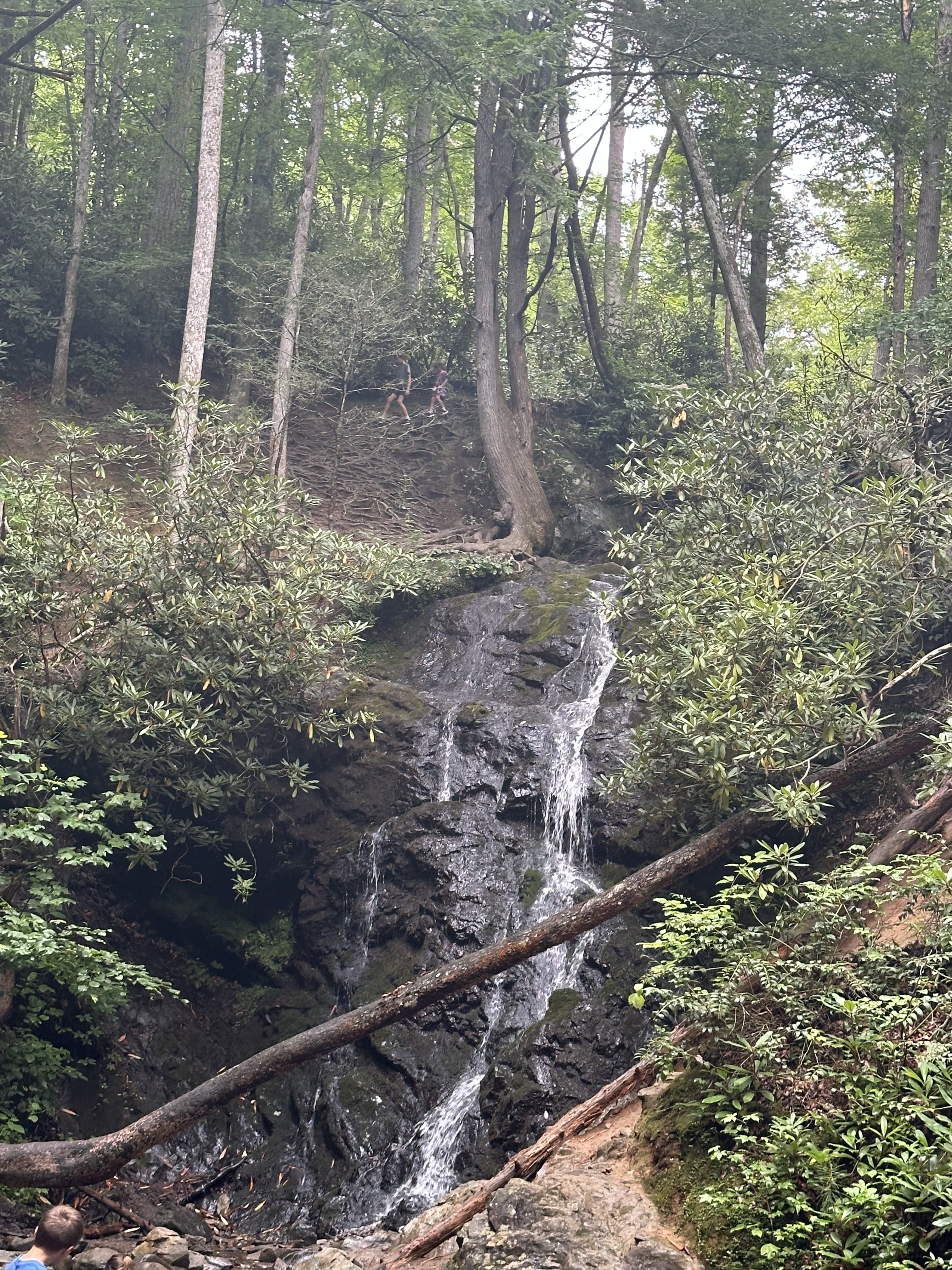
The area's diverse rock layers with differing resistance to erosion are ideal for waterfall formation.
Laurel Falls is the best-known waterfall. Here the water cascades 80 feet in two beautiful sections.
Abrams Falls is not far from Cades Cove and has one of the park's highest water volumes, though it is only about 20 feet tall.
Rainbow Falls is the tallest single-drop waterfall in the park. It plunges 80 feet into the rocks beneath.
Other waterfalls include Grotto Falls, Ramsey Cascade, Hen Wallow, and Mingo Falls. Nevertheless, there are more falls for visitors to find. Source: Waterfalls.
For more locations and hikes, check this guide found on Amazon. Hiking Great Smoky Mountains National Park: A Guide to the Park's Greatest Hiking Adventures. It has maps, descriptions, and directions for an unforgettable trip.
Want to find more National Parks to explore? Check this map of National Parks in the USA
Smoky Mountains Sites of Interest
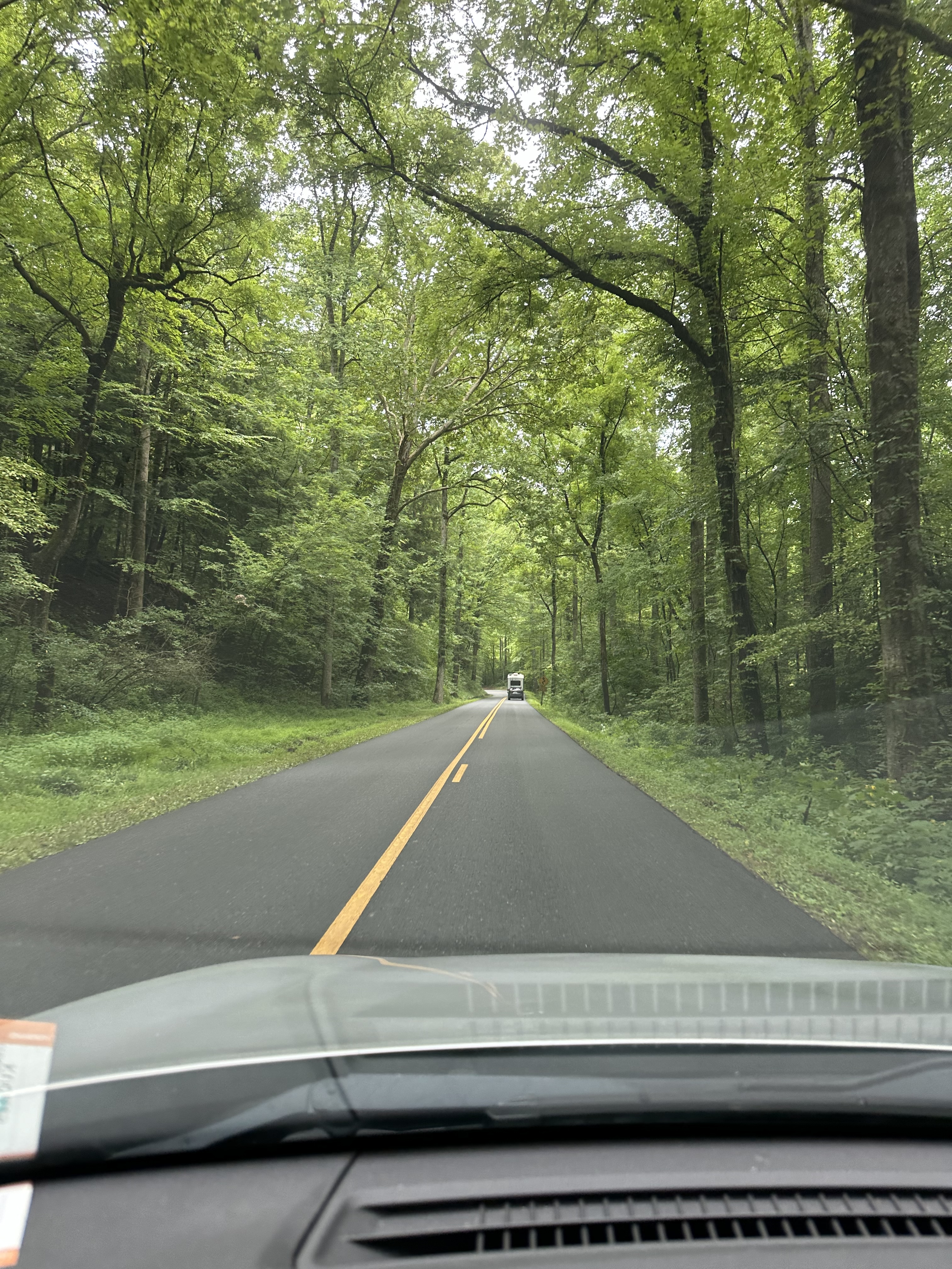
Foothills Parkway
The shaded strip of land north of the park is the Foothills Parkway. This is a scenic driveway that traverses the northern foothills.
It connects U.S. Route 129 (U.S.129) with I-40 along the Little Tennessee River. It offers breathtaking views and overlooks of the Smokies; Gatlinburg.com.
The parkway has not been completed. Some say it will affect wildlife, and others believe it will be better for tourism if it is finished.
The Appalachian Trail
The Appalachian Trail crosses through the Great Smoky Mountains National Park. It follows the Tennessee-North Carolina border through the middle of the park. The Appalachian Trail is depicted in fuchsia on the map.
The trail is 2,181 miles from Georgia to Maine. The Smoky Mountains section is only 72 miles.
The trail begins at a lower elevation, reaches its highest point at Clingmans Dome, close to the the park's center, and descends as it heads northeast.
On average, it takes 7 days to hike the trail through the Smoky Mountains; Great Smoky.
Amazon has a complete and updated guide called "Discovering the Appalachian Trail: A Guide to the Trail's Greatest Hikes". It includes maps, beautiful photography, and mile-by-mile directions.
Map of Yosemite National Park
Hikes and Trails at the Smoky Mountains
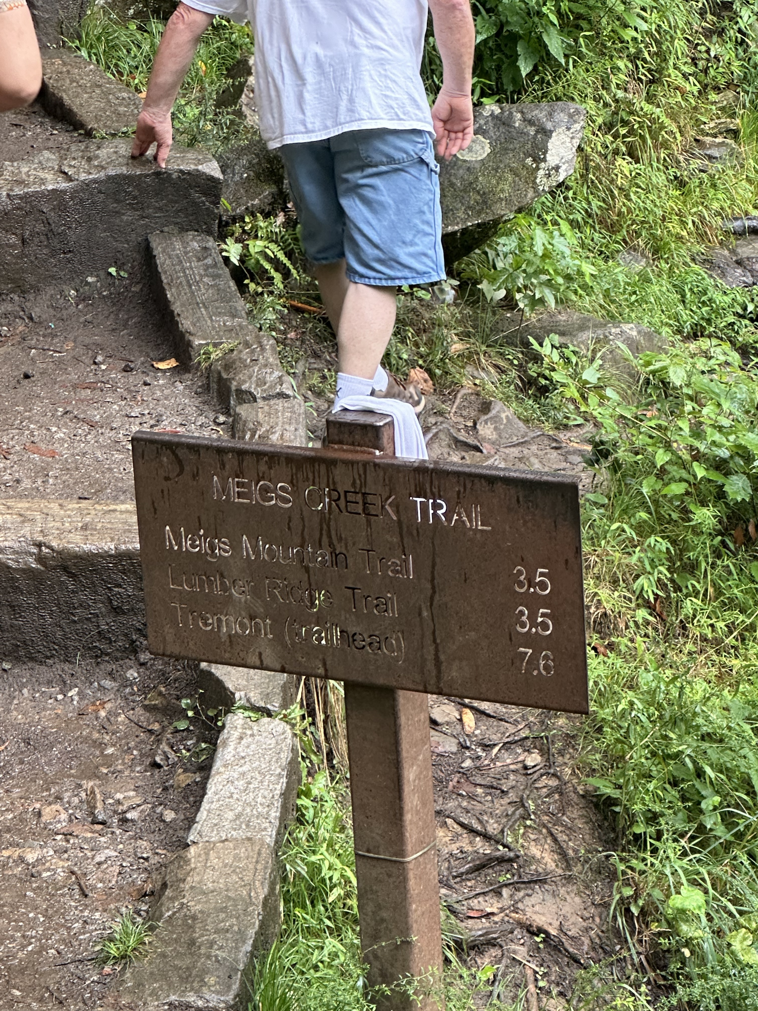
There are many trails to choose from while visiting the park, as seen on the map. These include:
Most of the trails we saw are rugged and steep. Take comfortable non sleepery shoes.
- Alum Cave Trail: Boulevard Trail, Bullhead Trail, and Rainbow Falls Trail are sought after for their views as these trails reach Mount Leconte. It reaches an elevation of 2,763 feet.
- Low Gap Trailhead: This is an 11-mile roundtrip that is not very long but is very steep. It reaches the top of Mt Cammerer with incredible overlooks of Pigeon River George.
- Andrews Bald: This is a rocky trail with lots of wildflowers blooming.
- Chimney Tops Trail: This is a steep hike with a bare rock summit.
- Gregory Bald Trail: Known for the azaleas that bloom in June.
- Clingmans Dome Trail: This is a popular trail as it reaches the highest point in the park. Here you can see miles of forests below.
- Ramsey Cascades is known for its beautiful waterfalls.
Great Smoky Mountains Vegetation
There are five forest types found in the Great Smoky Mountains. These are mainly the result of elevation increases in the park.
For every 1,000 feet (304m) in elevation, it is like moving 250 miles (401Km) north. That is lower temperatures and more rain.
The five forest types are visible from the northern section of the Newfound Gap Road (US 441). This road is highlighted in red on the map.
These forest types are:
- Above 4,500 feet: there is spruce fir, yellow birch, hobblebush, blackberries, and mountain ash.
- Between 3,500 - 5000 feet: is dominated by hardwood forest. It is characterized by sugar maple and American beech. These produce the most beautiful fall colors.
- Drier Ridges: are around the park and hold pine-oak forests. Here white pine is also found. These slopes drain quickly, and fire is often ignited in these communities.
- Streambanks: are usually covered with hemlock forest.
- Rainforest: is found in areas with additional precipitation.
Interactive Map of the Grand Canyon National Park
Smoky Mountains Wildlife
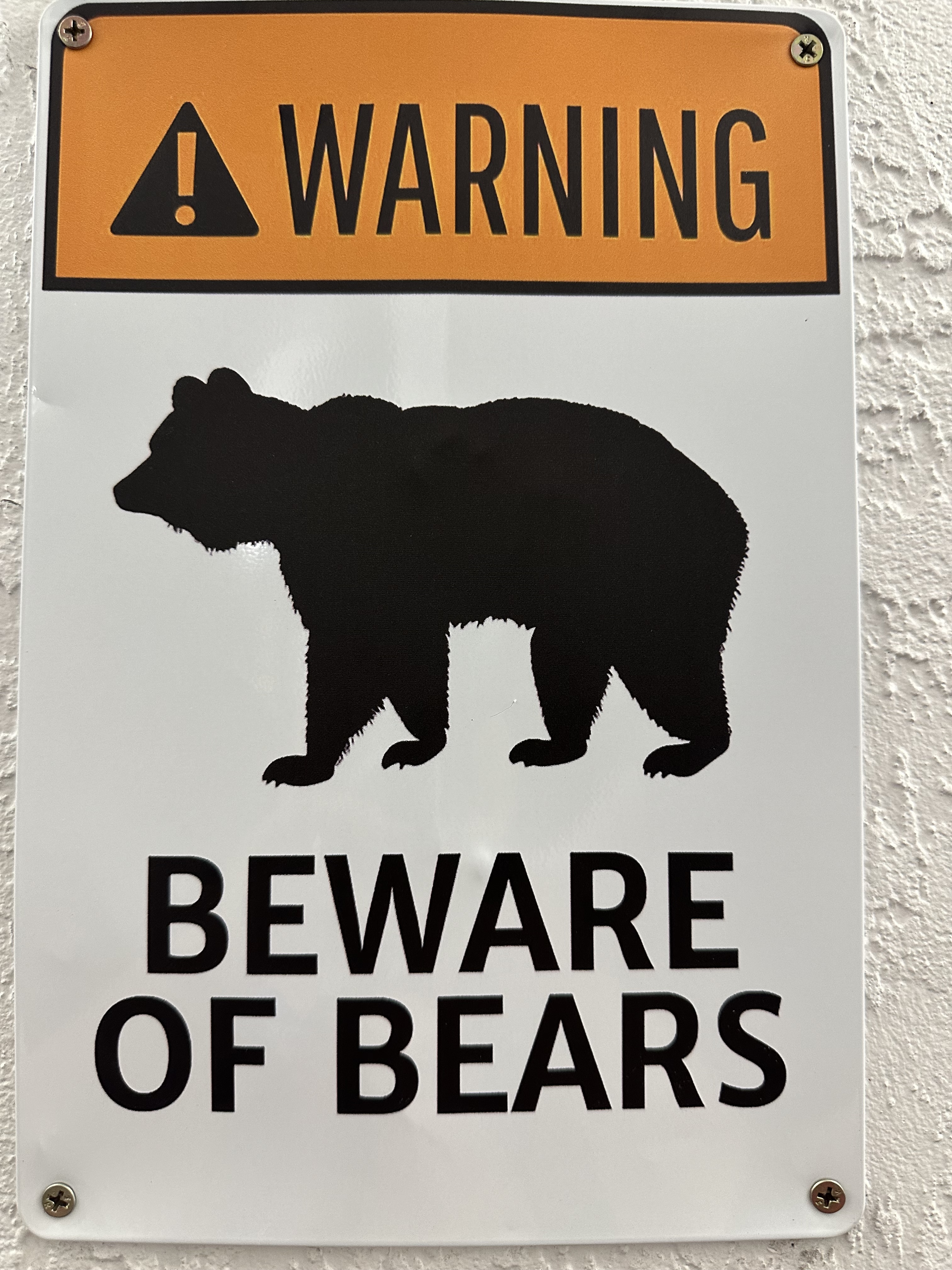
The best timesto see wildlife is early in the morning or late in the evening.
The best locations to find wildlife are open spaces along the Cades Cove Loop Road on the northeastern side of the park, highlighted in purple.
Another good site is on the southwestern side of the park, by Cataloochee Creek.
The best item to view wildlife is a high-power binocular. Amazon has the Nikon Trailblazer. It is a compact, waterproof, fog proof binocular for high-resolution images.
Mammals of the Smoky Mountains
The most sought-after animal by visitors is the bear.
There are about 64 mammals living in the park. These include bobcats, coyotes, deer, squirrels, chipmunks, raccoons, opossums, woodchucks, red and gray foxes, bats, and skunks.
Bison, fish, and gray wolves used to be native to the park but no longer live in it.
Birds in the Smoky Mountains
Over 230 species of birds live or breed in the park.
The best places to see birds include Cades Cove Loop Rd., the Oconaluftee R. on the southwestern side of the park, and the Gatlinburg Trail on the northern side of the park.
Bird species include sparrows, chimney swifts, barn swallows, blue jays, warblers doves, cardinals, and towhees.
Birds of prey include eagles, hawks, and turkey vultures.
Other Animals in the Smoky Mountains
The Smoky Mountains also have reptiles like lizards, turtles, box turtles, snapping turtles, and snakes.
Amphibians include many frogs, toads, and salamanders. There are 30 species of salamanders which makes it a hub for salamanders worldwide; Wildlife.
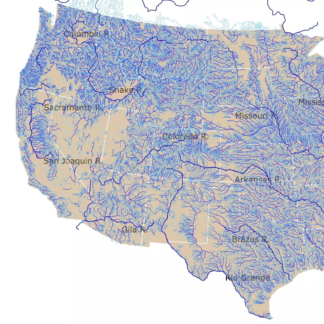
Interested in reading more about U.S. Rivers? Visit this map on the topic!
Camping at Great Smoky Mountains National Park
Backcountry Camping is available but requires miles of hiking. Backpackers need to reserve ahead of time.
Frontcountry Camping includes developed campgrounds with bathrooms close to the visitor's car. These are the campgrounds represented with red dots on the map.
Group Campgrounds are large campsites for 8 or more people. These are next to Frontcountry camping.
Horse Campgrounds are accessible by vehicle and over racks for horses and primitive camping facilities.
FOLLOW ME
Sources to Make Smoky Mountains Topography Map
The contour lines from Smoky Mountains National Park were downloaded from USGS.
The Trail, Roads, Lakes, and Campsites shapefiles were downloaded from NPS
The shapefiles for Smoky Mountains National Park Boundaries were downloaded from Science Base USGS
The River Shapefiles were downloaded from National Weather Service.
This map will be updated with new data! To receive updates on this and more nature maps, join my email list!!!!!!!
Made by Luz K with D3.js.